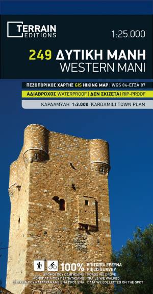
They are unique! Water-resistant, tear proof, easy to read and outstandingly user-friendly. They are made using data which has been collected exclusively in the field and then processed using ArcGIS, the first-class cartographic software suite. TERRAIN’s cartographers walk all of the trails, drive all the roads and sail along all the coastlines, documenting one by one all the places of interest which go on our maps. We make reliable, easy to use maps with absolutely no concessions, for the discerning traveller.