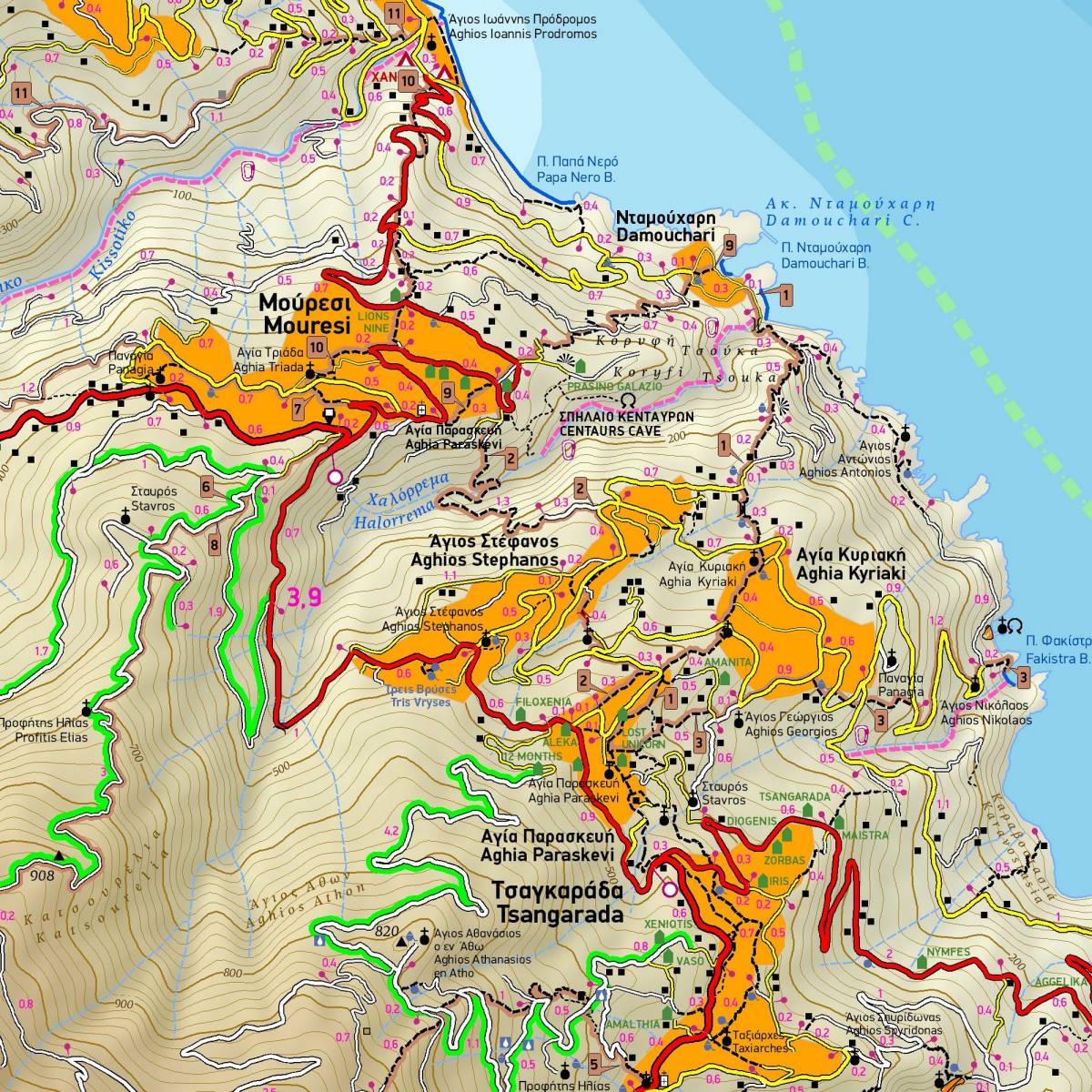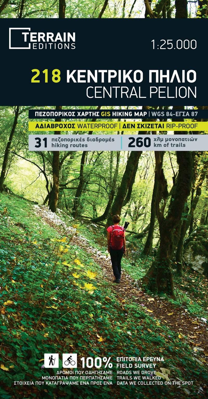
Discover why this is the best-selling hiking map of Central Pelion! TERRAIN’s detailed map at a 1:25,000 scale was the first—and remains the only—map to offer complete, reliable coverage of the region’s trail network.
It features all paths and hiking trails with precise point-to-point distances, covering over 260 kilometers of routes, far more than any other hiking map of the area.
The map highlights 31 recommended hiking routes of outstanding natural beauty, each color-shaded and numbered for easy reference. On the reverse side, you’ll find detailed tables with each route’s elevation profile, total length, ascent, descent, and estimated walking time.
All climbing crags are mapped with topographical polygons and their access routes clearly marked, while bolted canyoning routes in Central Pelion’s gorges are also shown, with additional information provided on the back of the map.
The map also includes an enlarged inset (1:15,000) of the Tsangarada area and a street plan of Volos (1:6,000) for added convenience.
Sample