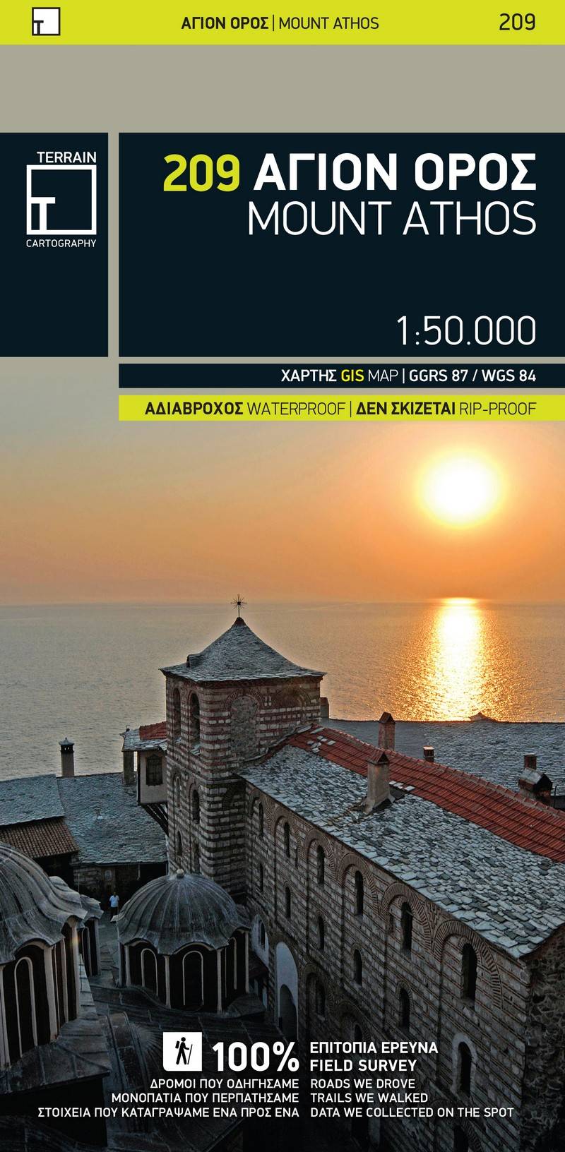
Hiking map Scale 1:50.000 2015 Edition
Printed on Polyart
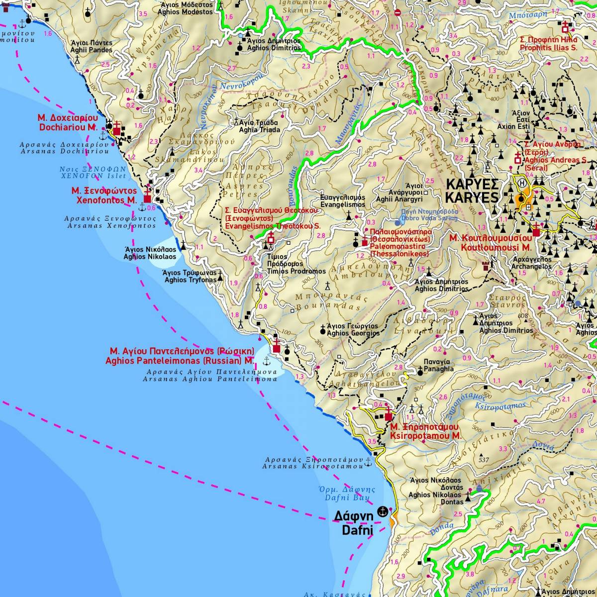
The first highly accurate map of Mt Athos.
Created with GPS technology and extensive field survey, this map of Mt. Athos from TERRAIN Editions offers to the visitor a unique wealth of information. If you plan to hike from one monastery to the other, explore the mainland or climb to the top of Mt. Athos, this precise and reliable map will prove invaluable.
FEATURES
- Κaryes town plan in 1:3.000 scale and Κaryes area map in 1:10.000 scale
- All monasteries, scetes, cells, seats and huts, marked with distinctive symbols and their names
- All walking trails, with measured distances
- A concise guide to the monasteries, and general information on Mt. Athos
Sample