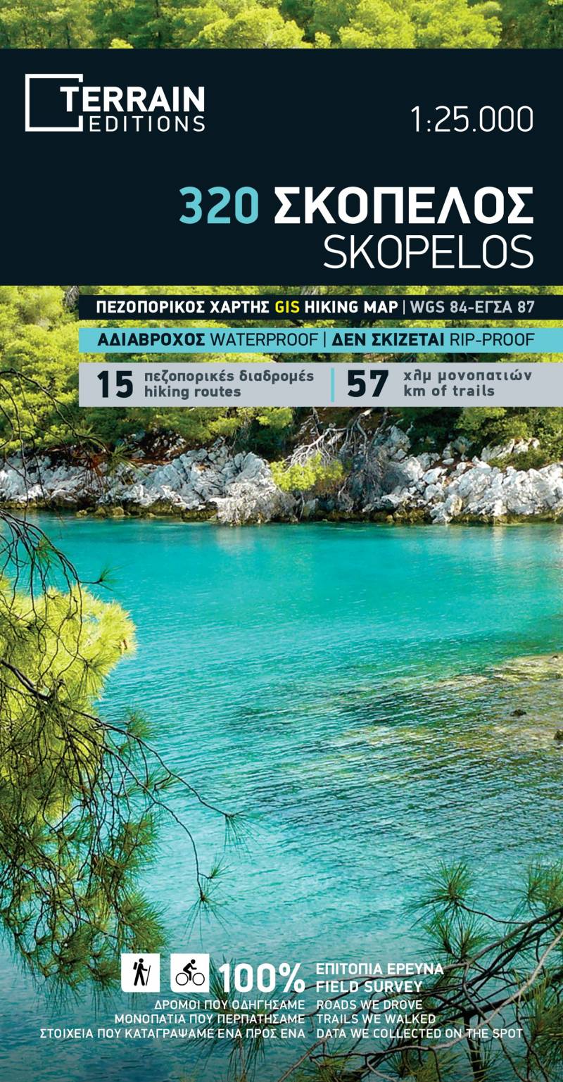
TERRAIN’s new hiking map of Skopelos is the best navigation tool to help you explore this incredibly green and verdant island located in the Northern Sporades.
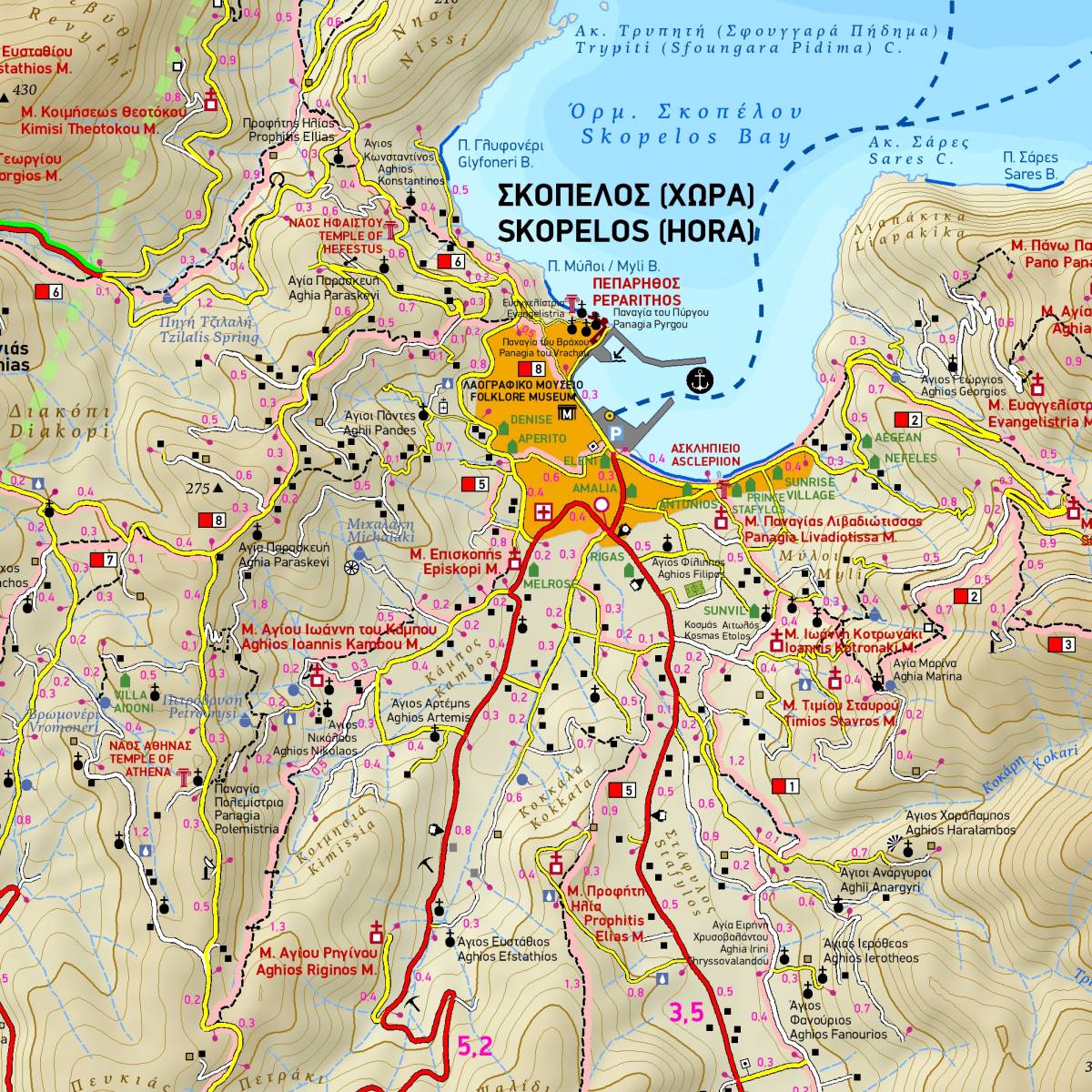
TERRAIN has undertaken the survey for a project to create a network of 15 signposted hiking routes (a total of 120 kilometres) on the island of Skopelos. This will soon be implemented by the Municipality of Skopelos, and will put the island firmly on the map as one of the most attractive hiking destinations in the Aegean! This map depicts all the 15 hiking routes which are shortly to be waymarked, and uses colour shading and a number labeling to do so; with this map in hand you can already safely explore most of the routes. On the back of the map you will find an extensive presentation of the hiking trails with description and the technical features of each route (total distance, total ascent/descent, estimated hiking time, and level of difficulty).
Also to be found on the back of the map is a concise travel guide which covers the mythology and history of the island, its geography and nature, as well as the best beaches and must-see places to visit.
Sample