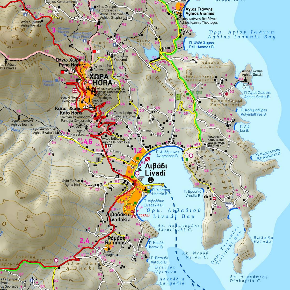
Introducing the third edition of the fully revised hiking and touring map of Serifos, now enriched with exclusive, field-collected information spanning the entire island.
This is the definitive map for Serifos, showcasing the island's extensive hiking trails totaling 100km! The map provides accurate distance measurements from junction to junction, making it the sole comprehensive guide to Serifos' entire hiking network. The 8 signposted hiking routes are vividly represented with color shading and official numbering for easy identification.
True to TERRAIN's commitment, the map not only showcases the complete road network but also highlights all beaches, from the largest to the most secluded coves. Cultural and natural attractions are featured, providing a comprehensive guide for your journey.
Flip the map over to discover detailed instructions for each signposted hiking route, complete with elevation profiles and information tables displaying route distance, estimated hiking time, and difficulty ratings.
Included is a concise overview of the island's most significant tourist attractions, offering you a well-rounded exploration experience.
Important Note on hiking trails: While the island's signposting is unfortunately inadequate, with many waymarks damaged or poorly maintained, and trails often overgrown with vegetation, fear not! Armed with this hiking map of Serifos, you can confidently traverse the trails without getting lost. All trails and points of interest are meticulously and clearly depicted on the map, ensuring a seamless and enjoyable hiking experience.
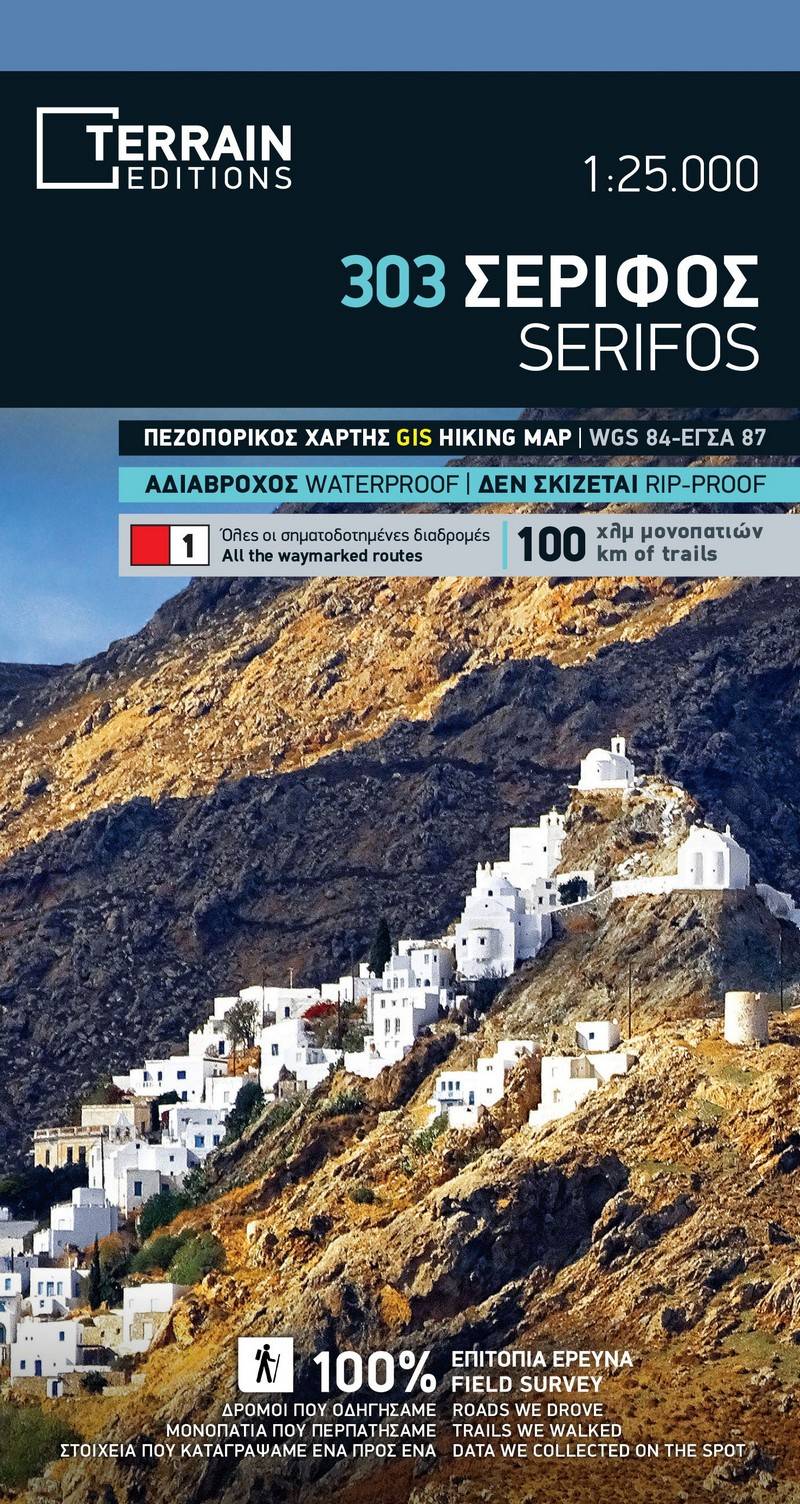
Sample