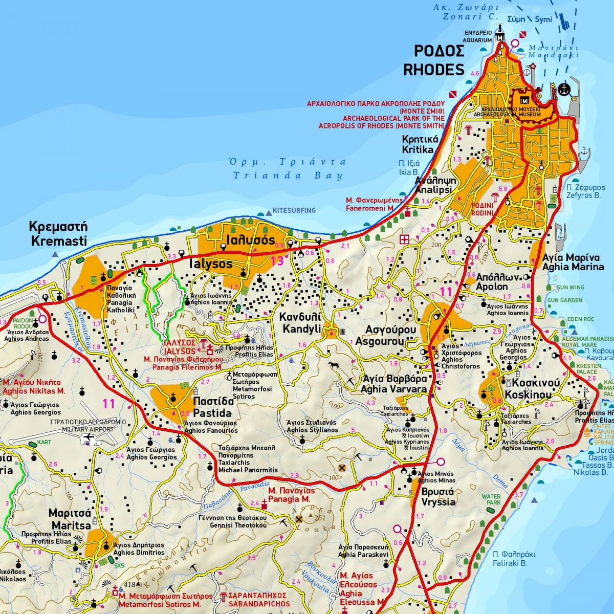
There is much to explore on the island of Rhodes behind its façade of luxury hotels and fabulous beaches. This detailed GPS compatible map at 1:75.000 is your best guide to the island whether you intend to reach its every corner by car or to simply walk through the alleys of the old town.
The main map depicts the entire road network of the island, clearly distinguishing between paved and dirt roads. Distances are marked on all roads and scenic routes are highlighted. All the beaches are shown with available facilities. All archaeological sites, historical monuments, natural sights are clearly indicated.
On the reverse side you will find a street plan of Rhodes town at 1:7.600, plus a very detailed enlargement of the Old Town area within the city walls at 1:3.700, highlighting all the historic buildings and places of interest, and accompanied by an index list of public buildings, hotels etc. There are also 4 recommended walking routes within the castle walls, guiding you to 46 of the most interesting historic monuments of the Old Town.
Sample