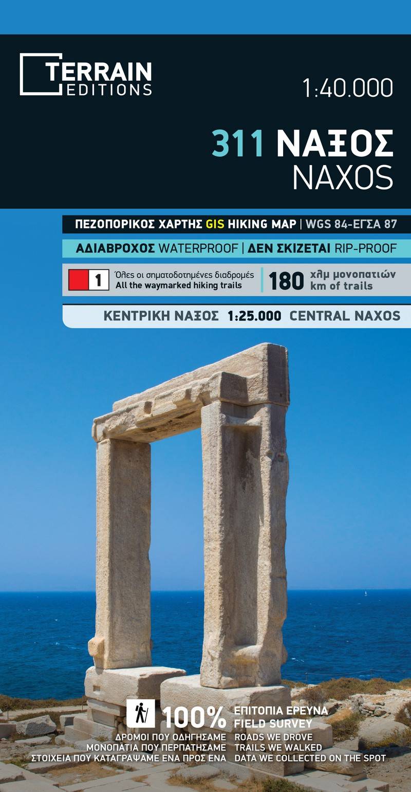
The 3rd edition of the hiking and touring map of Naxos has been completely redesigned, and is enriched with new and updated information collected exclusively in the field, and from across the entire island.
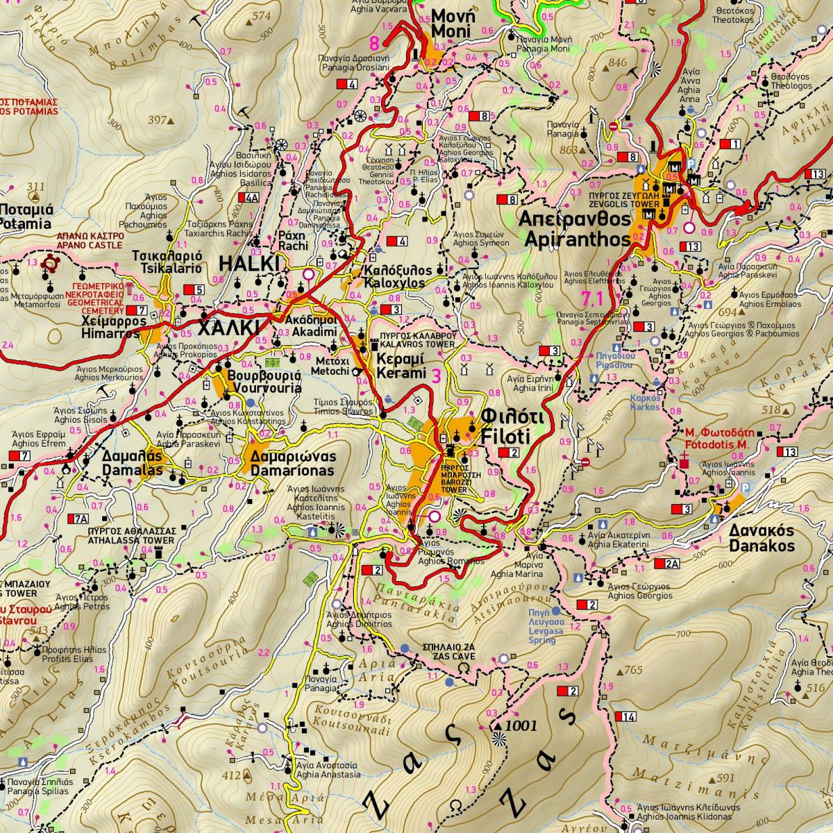
It is the only map of Naxos which depicts all the hiking trails of the island (totalling 180km!) with accurate point-to-point distances. The 15 signposted hiking routes on Naxos are represented with colour shading and their official numbering. Although the signposting remains problematic and poorly maintained (at the time this map was published), with this hiking map in hand you will be able to follow the routes without getting lost, as all the trails and points of interest are shown on the map with topographic precision and clarity.
p> The new addition to our map is an inset 1:25.000 map covering the central region of the island, around the villages of Halki, Apiranthos and Filoti, showing with great clarity and detail the dense network of paths in the area.On the back side of the map you will find helpful information for each of the hiking routes including elevation profiles, route distance, hiking time, total ascent and descent. Moreover, the reverse side features an illustrated mini travel guide, with information on the island’s history and natural environment, sights and major attractions. Also featured is a detailed plan of the town of Naxos, at a scale of 1:3.500.
Sample