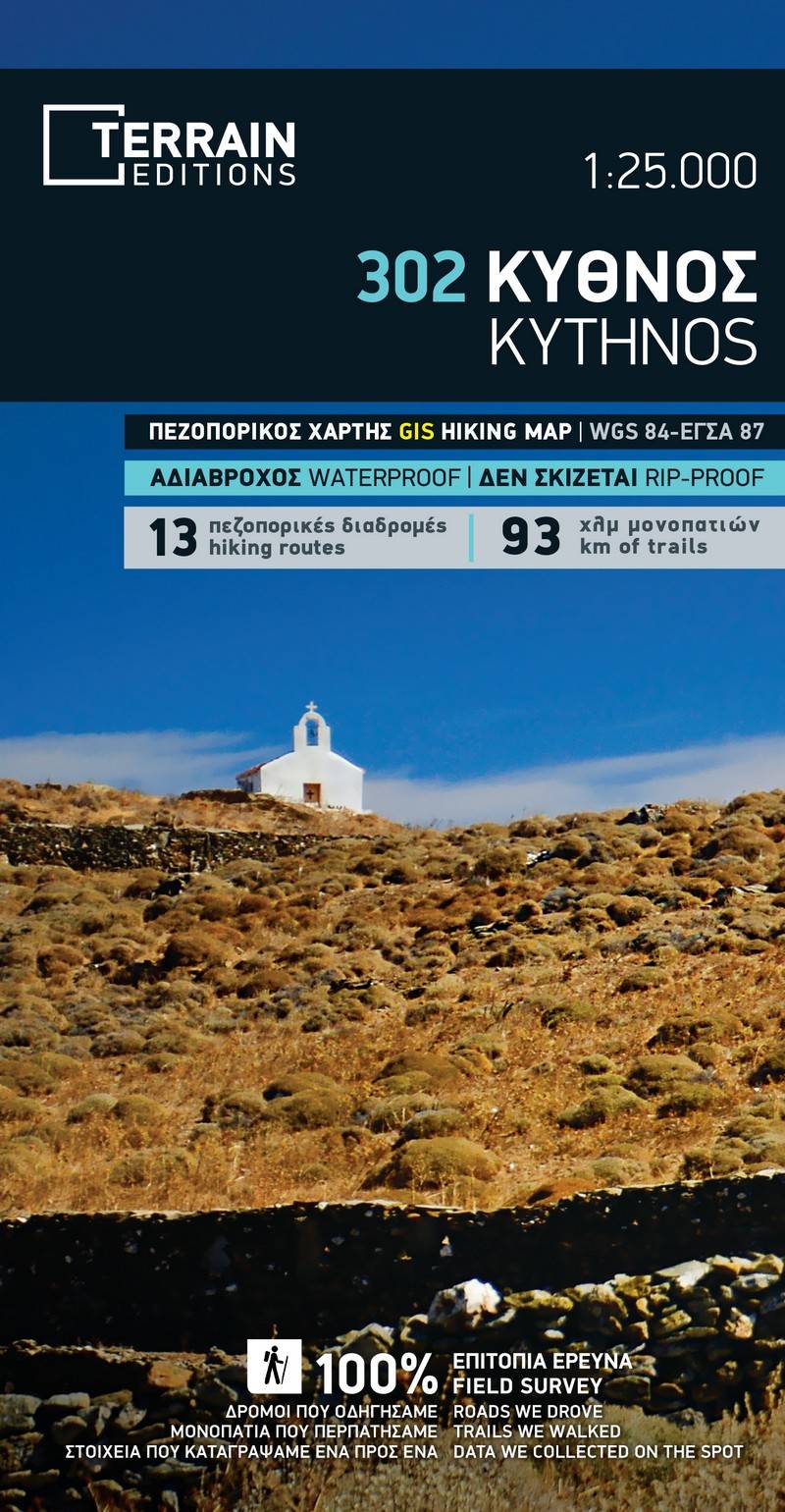
Embark on your exploration of Kythnos with the fully revised 3rd edition of our hiking and touring map. This redesigned map contains new and updated information gathered exclusively from the field, spanning the entire island.
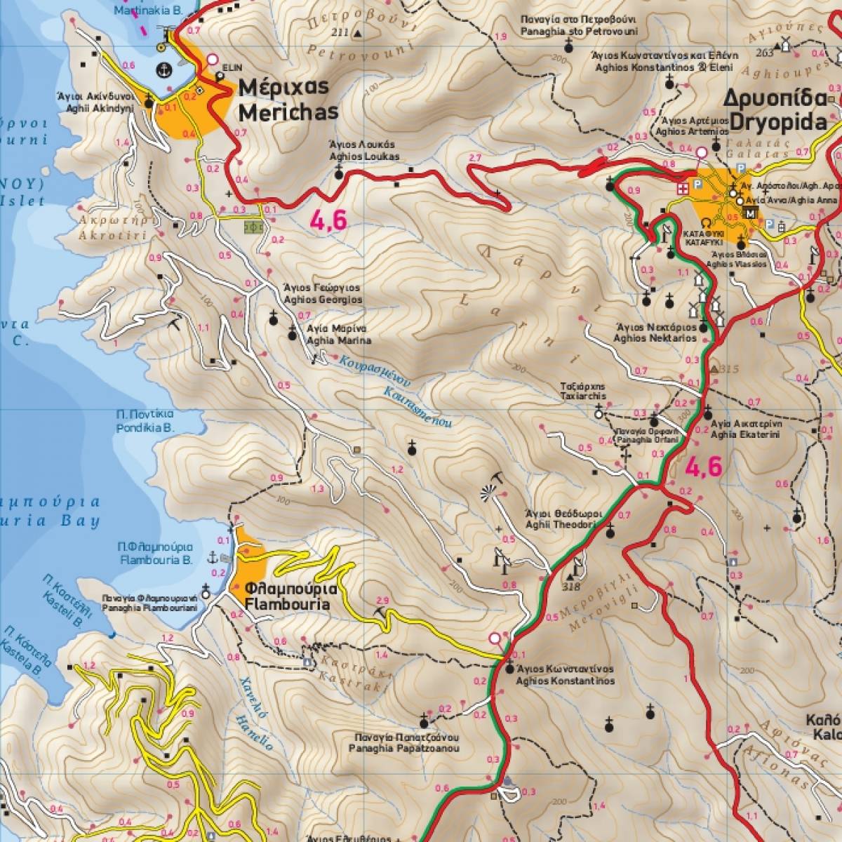
Accurately depicting all hiking trails with precise point-to-point distances, our map enables you to plan your individual hike and estimate the total length and duration of your hike. The map features 13 recommended hiking routes, each marked with a shaded line and numbering symbol for easy navigation. On the reverse side, detailed information on these routes is presented, including descriptions, total distance, and estimated hiking times. In the absence of reliable waymarking, our map becomes an indispensable tool for your hiking adventures on the island.
True to TERRAIN's commitment, the map not only showcases the complete road network but also highlights all beaches, from the largest to the most secluded coves. Cultural and natural attractions are featured, providing a comprehensive guide for your journey.
Flip the map, and you'll find a richly illustrated tourist guide offering extensive insights into the island's main attractions, history, and natural environment. Additionally, a detailed street plan of Hora of Kythnos at 1:1,500 scale is included, clearly indicating all tourist facilities and sights.
Enhance your hiking experience in Kythnos with our dedicated Kythnos Hiking Guide, available from TERRAIN editions in a bilingual English-Greek edition.
Sample