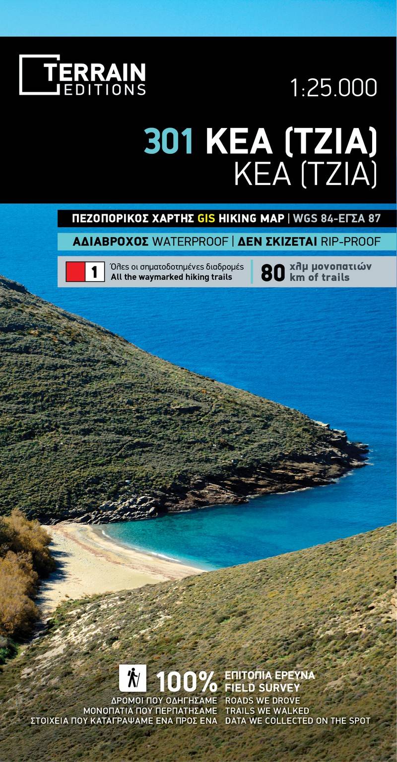
Discover the beauty of Kea with our newly redesigned second edition of the hiking and touring map of Kea. We've meticulously curated updated information gathered exclusively from the field, providing you with a comprehensive guide to explore the entire island.
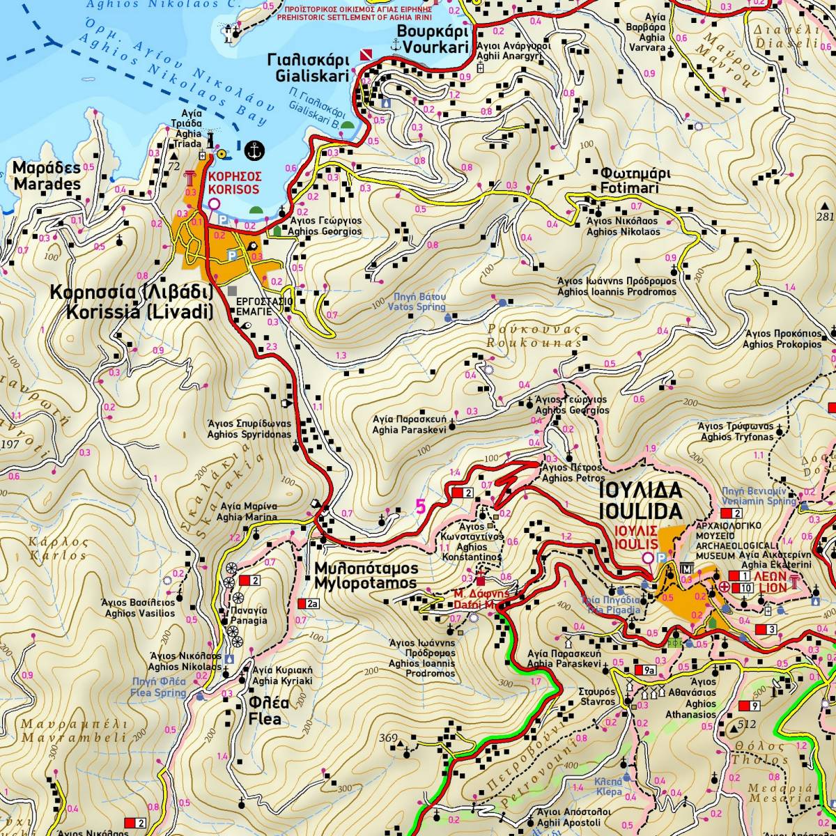
This is the definitive map for Kea, showcasing all the hiking trails with precise point-to-point distances. The 14 marked hiking routes are color-coded and numbered for easy reference. With this hiking map, navigating the trails becomes a breeze; every path and point of interest is accurately depicted, ensuring you won't lose your way.
Turn the map over, and you'll find detailed instructions for each marked hiking route. Elevation profiles, route distance, hiking time, and total elevation and descent data are all conveniently presented. Our goal is to enhance your hiking experience by providing the essential information you need.
Moreover, the reverse side of the map features a concise overview of the island's geography, natural environment, and key tourist attractions. Immerse yourself in Kea's charm with our hiking map, your ultimate companion for exploration.
Sample