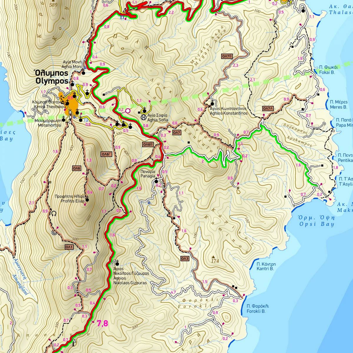
The remote island of Karpathos has a wild untamed feel, with its rugged mountains, traditional villages, and amazing beaches. The TERRAIN hiking map at a 1:30.000 scale is the most detailed map of Karpathos available. Karpathos is a long narrow island and is depicted across both sides of the map, while Kasos is portrayed in an inset map.
A wealth of information is accurately and clearly shown, including the extensive network of footpaths and trails all over the island (totalling 230 km). There are 30 waymarked hiking routes on Karpathos and neighboring Saria; these are marked on the map using colour shading and their assigned numbers. Point-to-point distances are used all over, so you can plan your route and estimate your hiking time. An inset table shows the distances and hiking times for all the 30 waymarked routes.
The map features detailed topographic information, using contour lines at 20 m intervals, and depicts all the ravines, springs, gorges, altitudes, mountain peaks, and of course all the beaches, even the smallest most remote ones.
Karpathos already has about 200 bolted climbing routes, located in five climbing areas, and new ones are constantly being added. This TERRAIN map clearly shows all the island's climbing crags and their access routes.
Included is a detailed 1:3,500 scale town plan of Pigadia, the capital of the island, clearly marking all hotels, car rentals, banks, public services, etc.
Sample