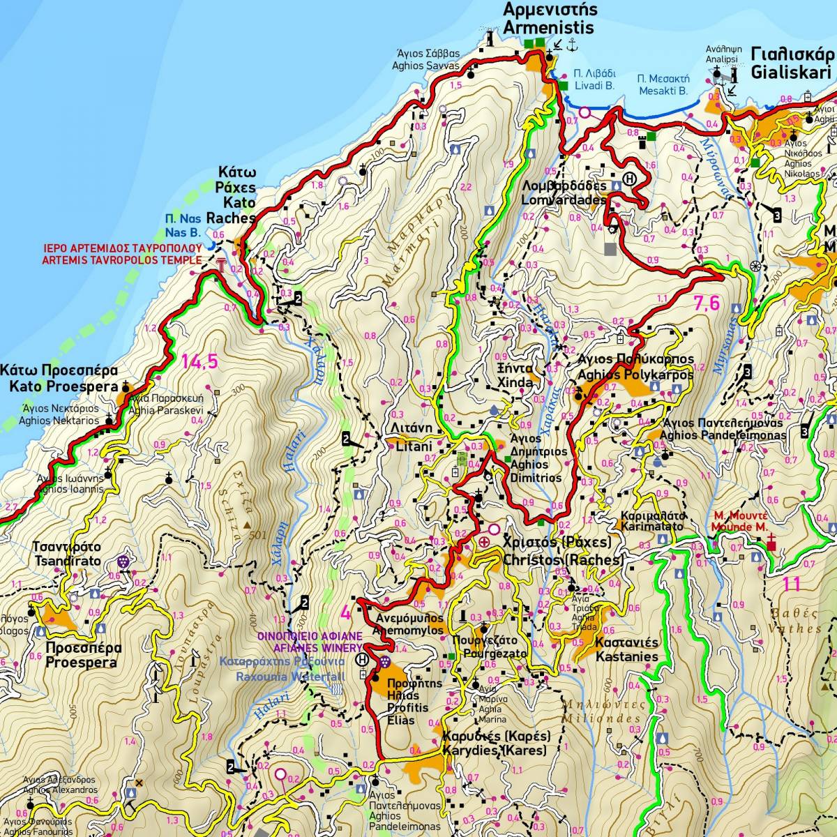
The 4th edition of the hiking and touring map of Ikaria is enriched with new and updated information collected exclusively in the field.
It is the only walking map of Ikaria which depicts all the footpaths and trails of the island with accurate distance measurements from junction to junction. The most picturesque routes and forest roads which criss cross the most scenic areas of Ikaria are portrayed using green colour shading.
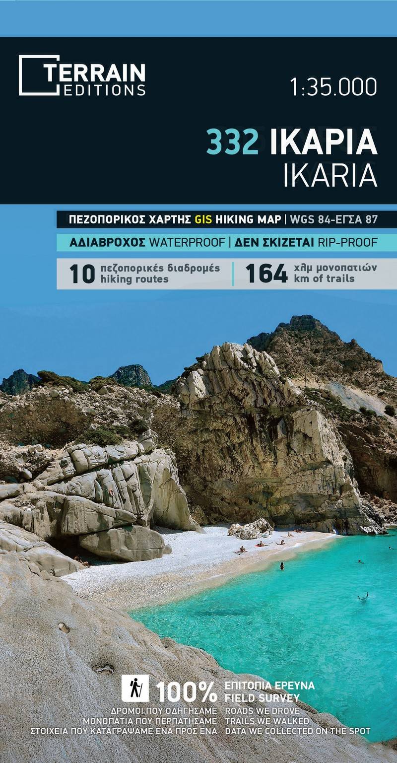
There are many marked hiking routes on Ikaria, which makes it a top destination for hiking with its dozens of trails criss crossing every corner of the island. TERRAIN’s hiking map depicts with absolute precision 164 kilometres of footpaths and trails and is an essential tool for you to enjoy unique walking experiences on this island. On the back of the map there is an extensive information section with analytical descriptions of 10 suggested hiking routes to enjoy.
In addition to the information on the paths on the back of the map you will find information on the history, natural environment and the most important sights to see on the island.
Sample