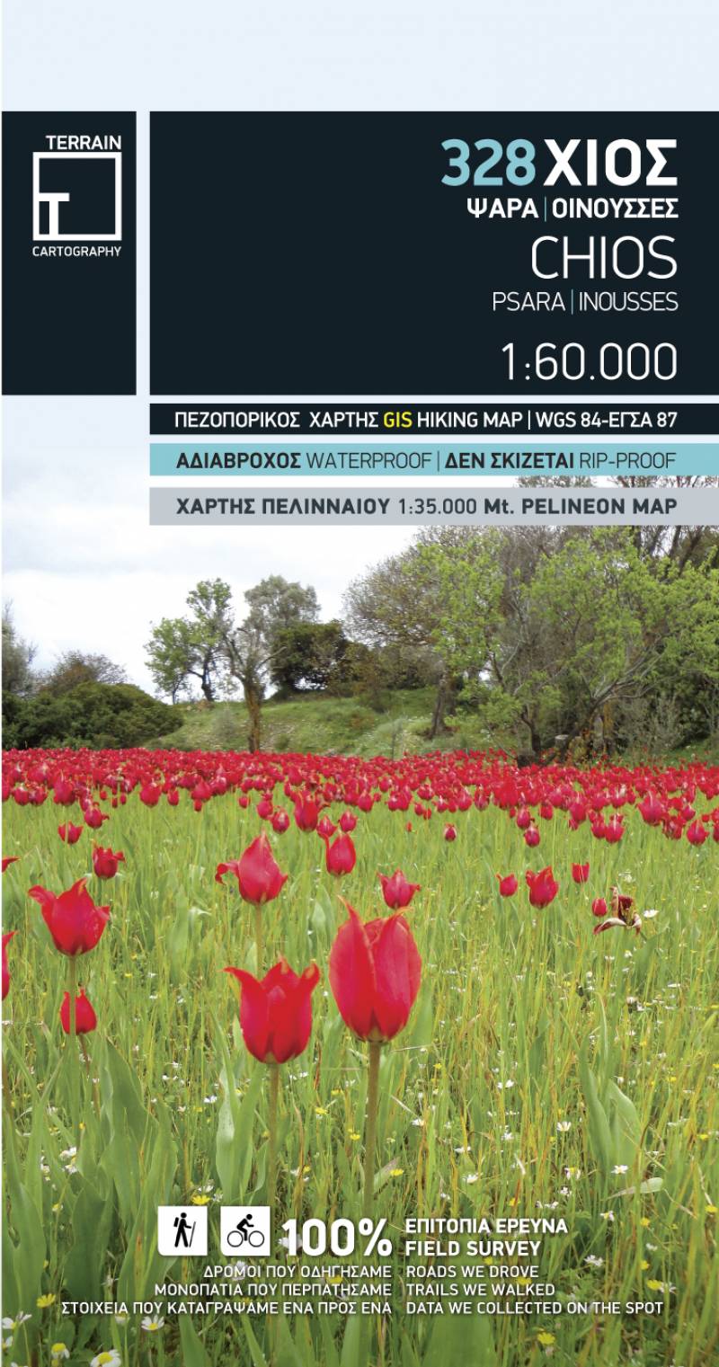
TERRAIN’s hiking and touring map of Chios is a reliable and comprehensive guide for those looking to explore every nook and corner of the island, either by car or on foot.
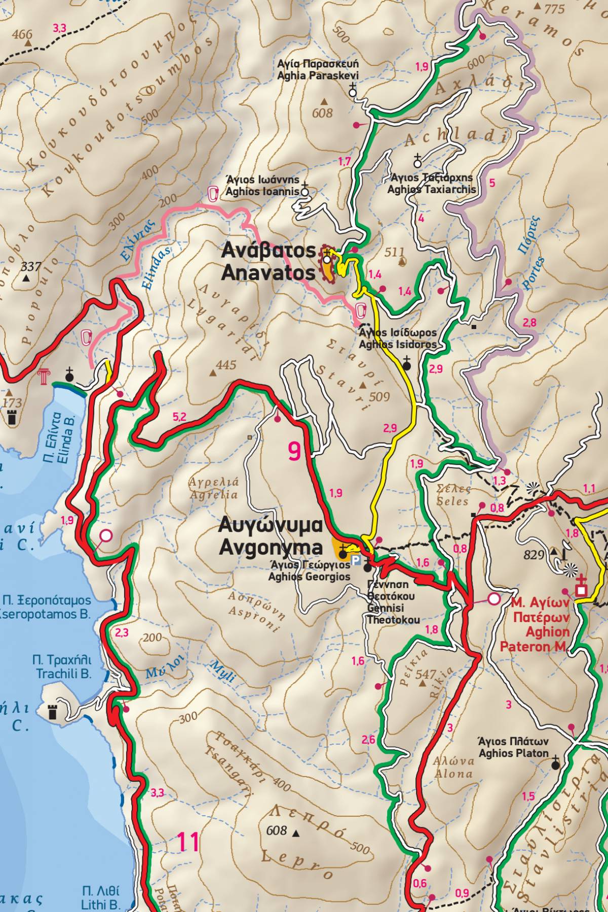
It depicts the most important hiking trails of Chios with accurate point-to-point distances, so that you can plan your hike and estimate your hiking time. On the back of the map you will find a detailed inset map on a scale of 1:35.000 of Mount Pelineo, which is the most attractive area for hiking on the island.
Included is a map of the islands of Psara and Antipsara to the west of Chios, as well as of the neighbouring cluster of islands, Inousses, to the east, with their trails, road network, and beaches mapped out in full.
In addition, there is a detailed map of the town of Chios on a scale of 1:4.000, which shows all the places of interest.
On the back of the map you will find a concise travel guide illustrated with color photographs, which gives information on the most important sights and attractions, as well as on the myths and history, geography and nature of the island.
Sample