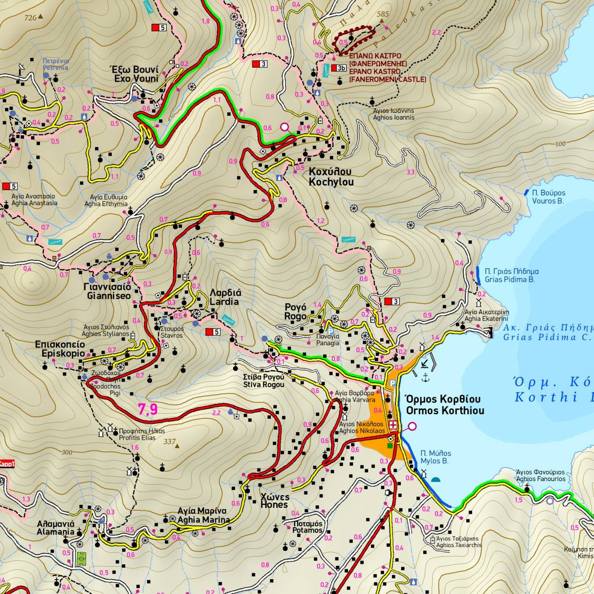
Andros is currently one of the most popular destinations for hiking in the Aegean, thanks to the hard work of a team of dedicated local volunteers who took it upon themselves to create a network of signposted hiking routes. With tremendous personal effort they have managed to waymark around 160 kms of trails, to a very high standard.
Apart from the signposted trails, there are at least another 150 km of paths and kalderimia (cobbled paths), which crisscross the whole of the island, giving the hiker opportunities to visit archaeological sites, beautiful beaches, areas of outstanding natural beauty, traditional villages and touristic sights.
All of these are depicted on this hiking map by TERRAIN with the utmost precision, using accurate point-to-point distances in km, making it an ideal tool to help you enjoy hiking on the gorgeous island of Andros.
Due to the detailed map scale, the island is divided in two and depicted on both sides of the map (North Andros on one side, South Andros on the other) with an ample overlap. The map includes a summary table of all the waymarked hiking routes with their features (route numbering, route distance, and hike duration).
Sample