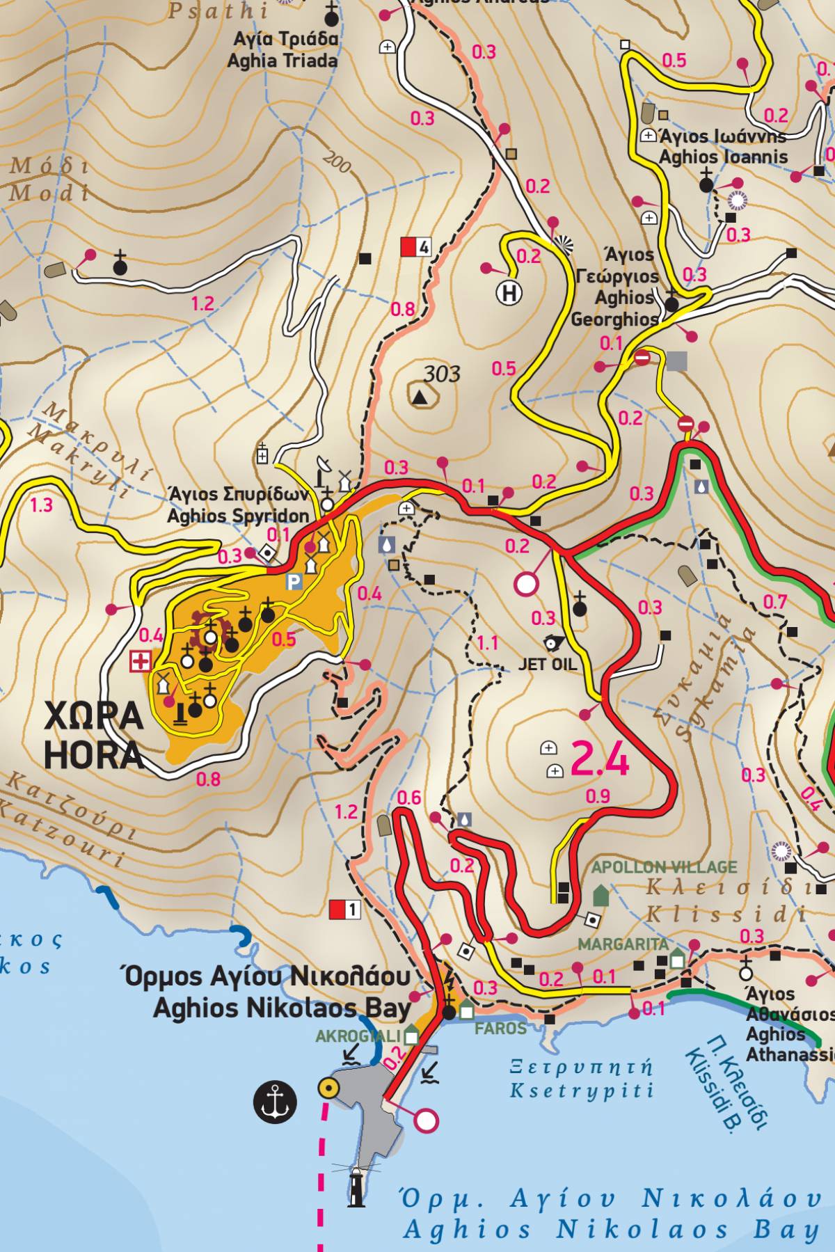
However small, the remote island of Anafi is known for its hiking trails and the majestic sea views. In this second edition of the hiking and touring map of Anafi, the entire trail network is shown for the first time with impeccable accuracy and point-to-point distances in km, so you can estimate the length and duration of your hike. The five waymarked hiking trails are shown on the map with colour shading and their official numbering. On the reverse side, these hikes are presented in detail with their features and detailed descriptions.
Thanks to the detailed scale of 1:15.000, a wealth of information is shown on this map, including the traditional stone farmhouses (katikies) throughout the island, which are unique in the Cyclades. And of course, all the beaches with their distinct features, the complete road network, all sights and points of interest are shown.
The reverse side features a detailed hiking guide presenting five recommended hikes on the island, as well as an illustrated mini travel guide, with information on the island’s history, natural environment and major attractions, and a brief note on climbing crags.
Note: At the time this map went to press the waymarking of the trails on the island was severely damaged and at some points totally missing, therefore not to be trusted. However, with this hiking map at hand you will be able to safely plan and enjoy your hikes.
.