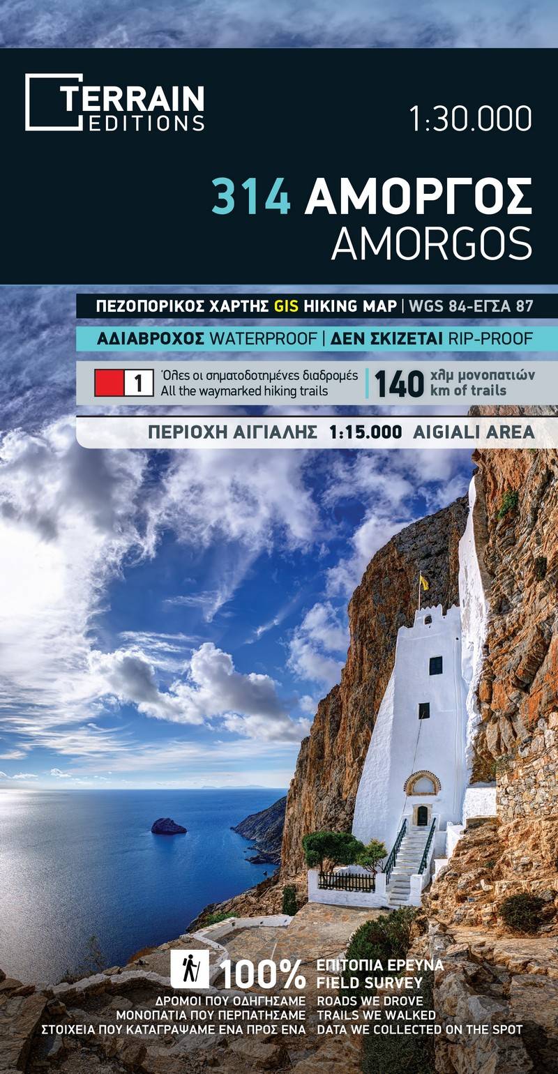
Printed on polyart
The 3rd edition of the hiking map of Amorgos has been completely redesigned and is now enriched with new and updated information gathered exclusively by field survey from across the entire island.
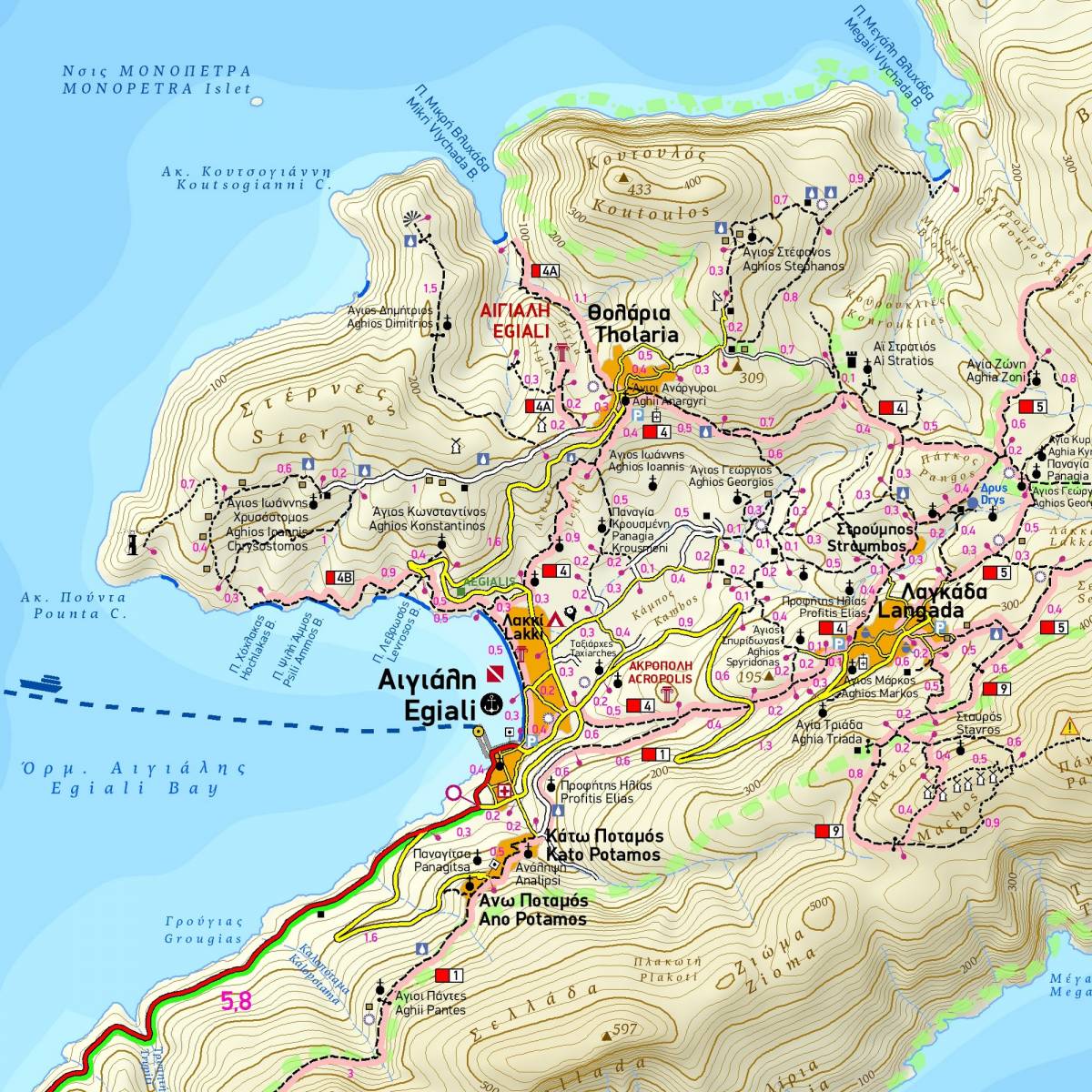
This new updated edition of TERRAIN’s hiking map and guide is the most reliable aid to safely explore the beautiful and wild landscapes of Amorgos. It is the only hiking map of the island to show all the trails and paths of the island – more than 140 km of them - with accurate point-to-point distances. The 16 waymarked hiking routes on the island are clearly depicted using colour shading and numbering labels. On the back of the map you will find in-depth representations of each of the hiking routes with descriptions, elevation profiles, distance and hiking time, total ascent/descent.
The new addition to our map is an inset 1:15.000 map of the region of Aegiali - Langada - Tholaria at the northeast, showing with great clarity and detail the dense network of paths in the area.
On the back of the map there is information about the island’s beaches, the natural environment, and the top attractions to see. Also included is a detailed map of the Chora of Amorgos on a scale of 1:2.000, which shows all the places of interest.
A note on the waymarking of the hiking trails: at the time that this map went to press, we found the existing waymarking to be inadequate or missing and the paths in need of maintenance.
Sample