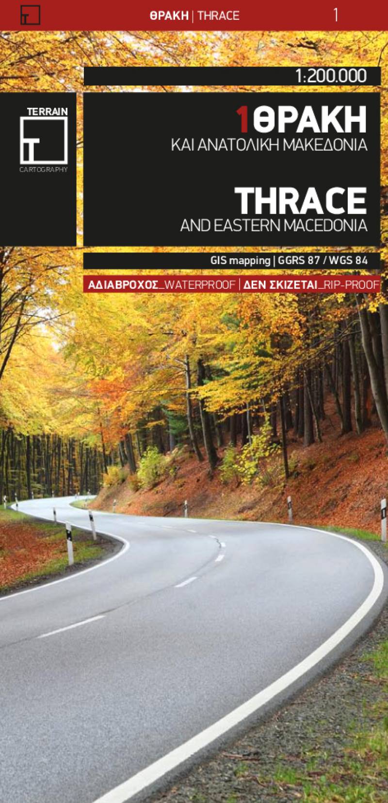
Road map Scale 1:200.000 2013 Edition
Printed on Polyart
Road and touring map of Thrace including eastern Macedonia, as well as the islands of Samothrace and Thasos.
- Features all the newest national motorways, their interchanges, toll stations and Motorway Service Stations, as well as Egnatia motorway, its interchanges and vertical axes, and the border crossings.
- Excellent map composition, which makes the map delightfully readable. TERRAIN’s map of Epirus is the map with the most ‘practiced’ composition, and the final result is impressive: all roads, villages, sights and points of interest that a 1:200.00 scale can ‘tolerate,’ are so meticulously placed on the map that using it is a piece of cake!
- Depicts all tourist attractions, archaeological sites, castles, monasteries, National Parks, caves, scenic routes, campsites, mountain refuges and main trails.
- G.I.S. mapping technology in two geodetic reference systems (ΕΓΣΑ 87 and WGS 84.)
- Printed on indestructible polyart paper.
- Includes a complete alphabetical index of all towns and villages, monasteries and archaeological sites.
Sample
