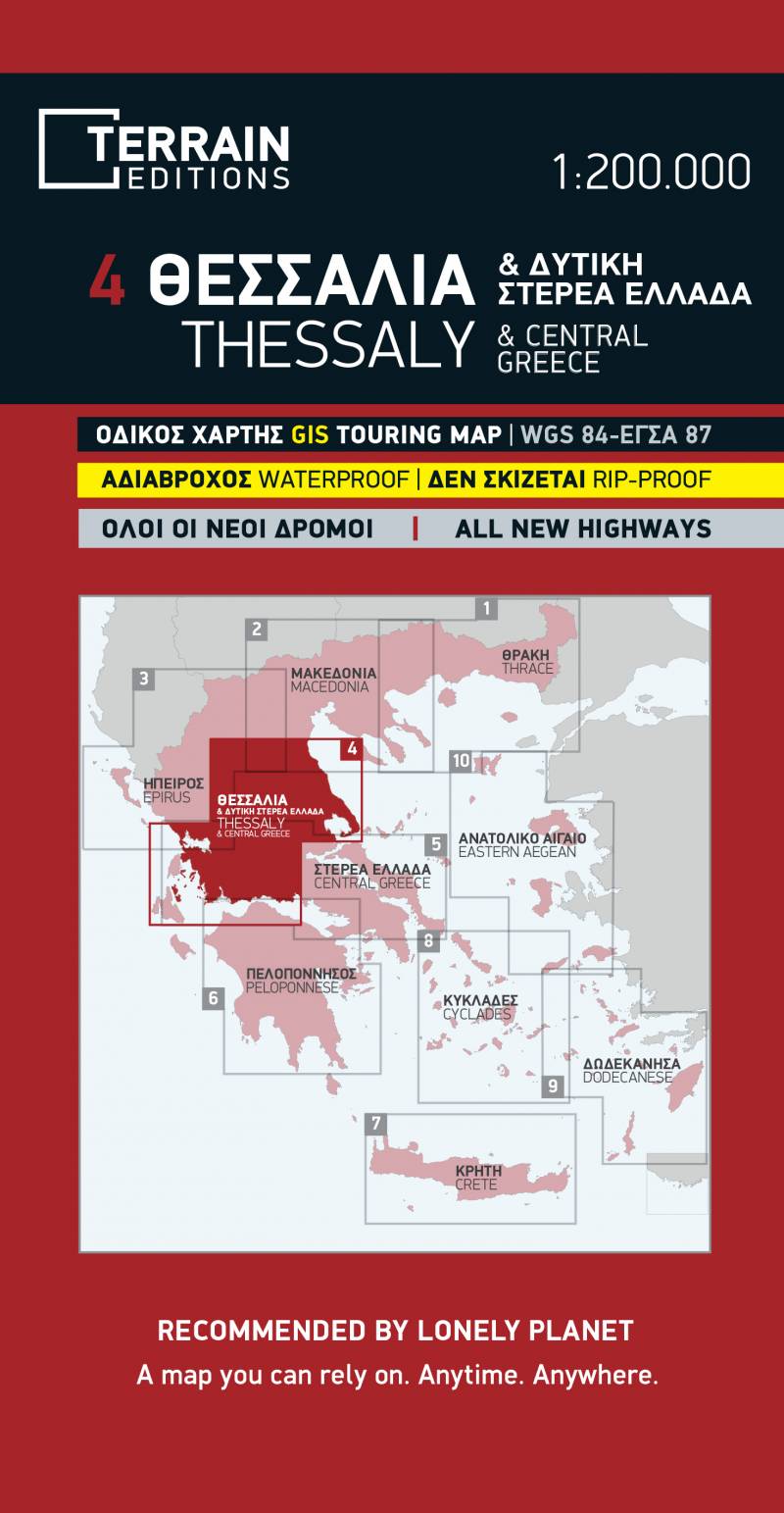
Road map Scale 1:200.000 2018 Edition
Printed on Polyart
This is the best road and touring map of Thessaly available, in every respect. Here’s what makes it so special:
- Fully updated road network
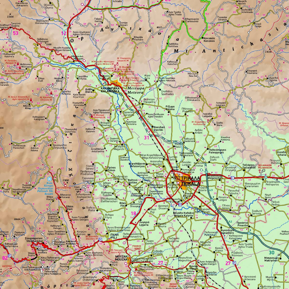
- Excellent map composition, which makes the map delightfully readable. TERRAIN’s map of Τhessaly is the map with the most ‘practiced’ composition, and the final result is impressive: all roads, villages, sights and points of interest that a 1:200.00 scale can ‘tolerate,’ are so meticulously placed on the map that using it is a piece of cake!
- All the archaeological sites, beaches, camping sites, mountain refuges, the E4 European trail
- I.S. mapping technology in two geodetic reference systems (ΕΓΣΑ 87 and WGS 84.)
- Printed on indestructible polyart paper.
- Includes a complete alphabetical index of all towns and villages, monasteries and archaeological sites.
