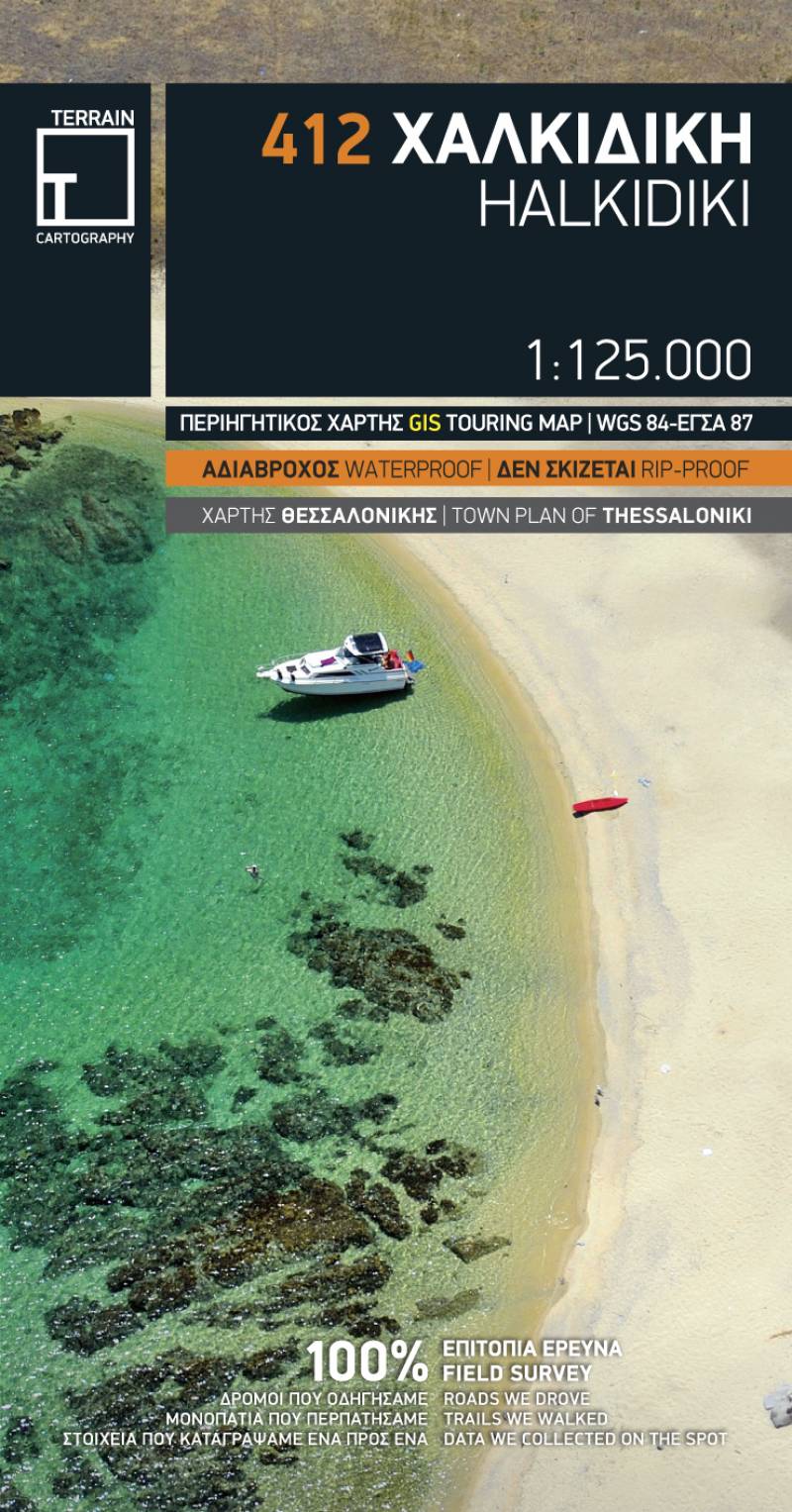
Touring map Scale 1:125.000 2016 Edition
Printed on Polyart
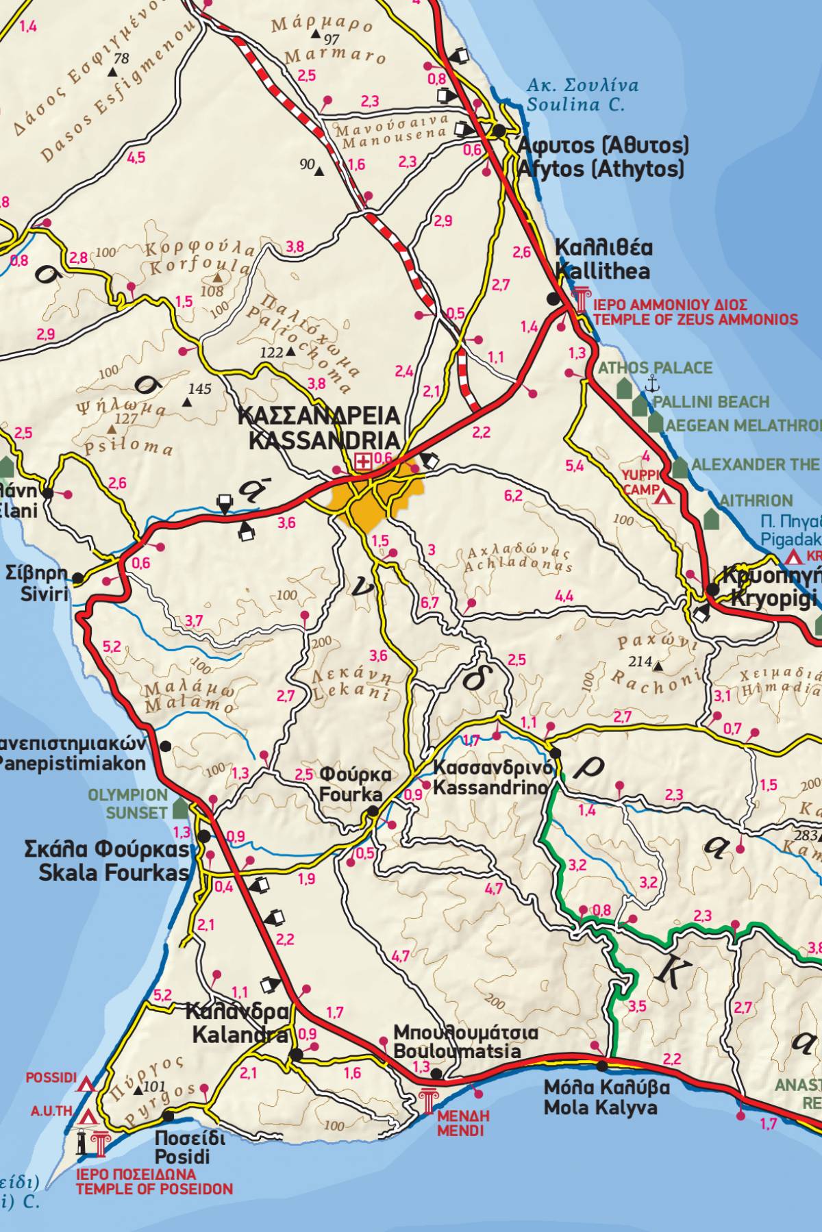
The touring map of the Halkidiki Peninsula provides travelers with everything they need:
- Scale of 1:125.000, which attributes all the information with clarity and impressive detail. Clear symbols, readable fonts and excellent map composition make the map extremely user friendly.
- Unique wealth of information. The complete road network with driving distances, all villages, monasteries and archaeological sites, all beaches, campsites, mountain refuges and much more. Scenic routes are prominently highlighted.
- A large, clear street plan of central Thessaloniki covers the reverse side, marking places of interest including selected hotels, museums, churches and much else.
- A full index of place names, archaeological sites and monasteries is included.
- Printed on waterproof and rip-proof polyart paper.
