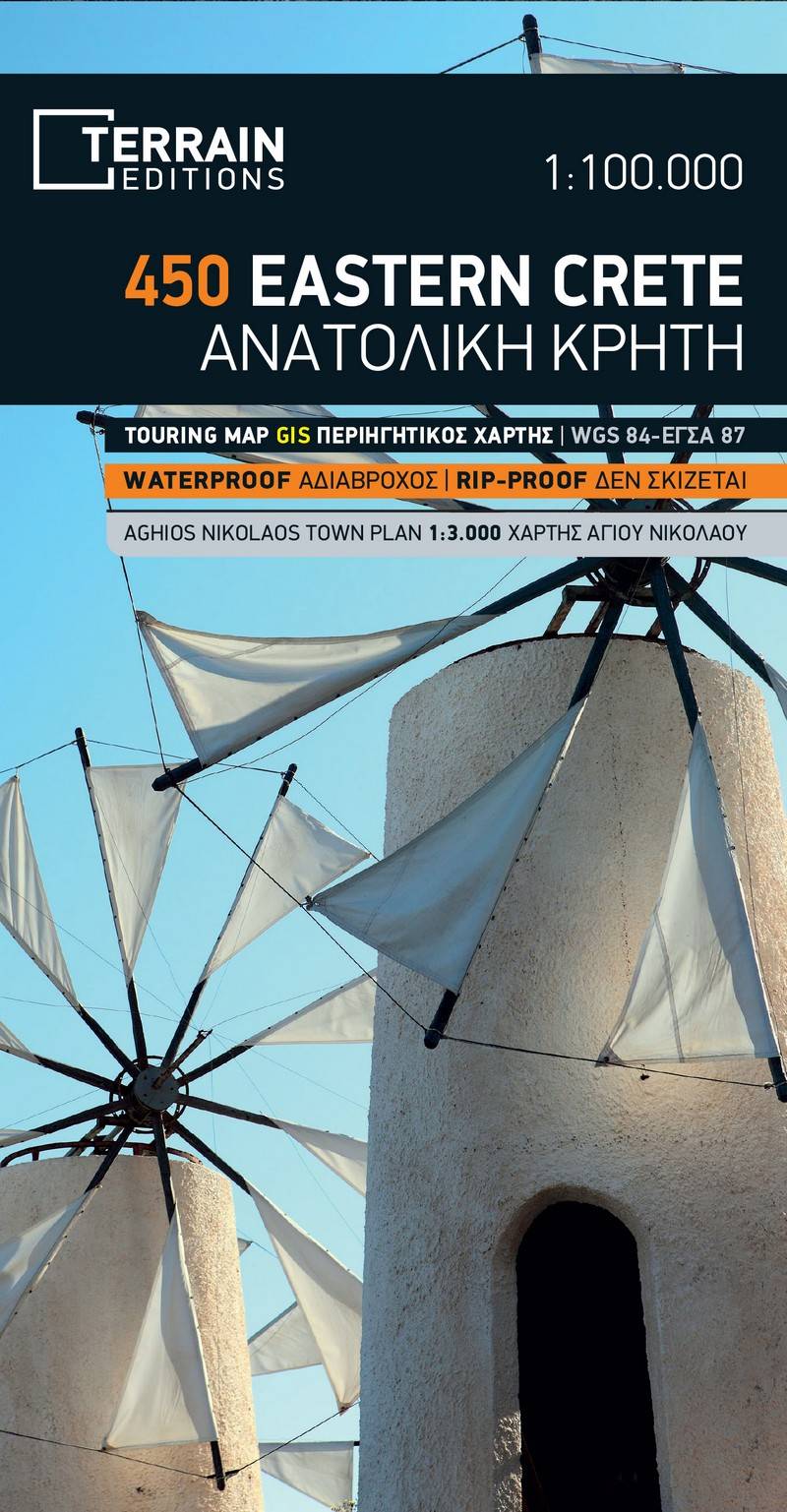
Touring map Scale 1:100.000 2025 Edition
Printed on Polyart
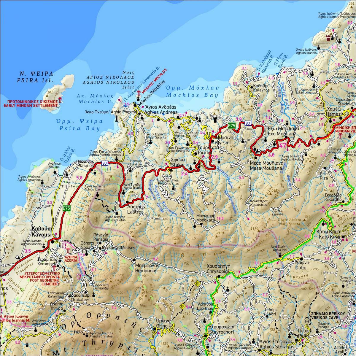
The touring map of Eastern Crete provides travelers with everything they need to explore this part of Crete:
- Scale of 100.000, which attributes all the information with clarity and impressive detail. Clear symbols, readable fonts and excellent map composition make the map extremely user friendly.
- Unique wealth of information. The complete road network, all villages, monuments and tourist attractions, all beaches, camping sites, mountain refuges and much more.
- The E4 European trail as well as the area’s major hiking trails are clearly marked with point-to-point distances. Bolted canyoning routes and climbing crags are also shown.
- A detailed town plan of Aghios Nikolaos in the scale of 1:4.500 is included, as well as a full index of place names and archaeological sites.
- Printed on waterproof and rip-proof polyart paper.
Sample