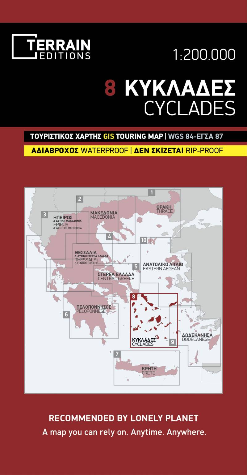
Touring map Scale 1:200.000 2018 Edition
Printed on Polyart
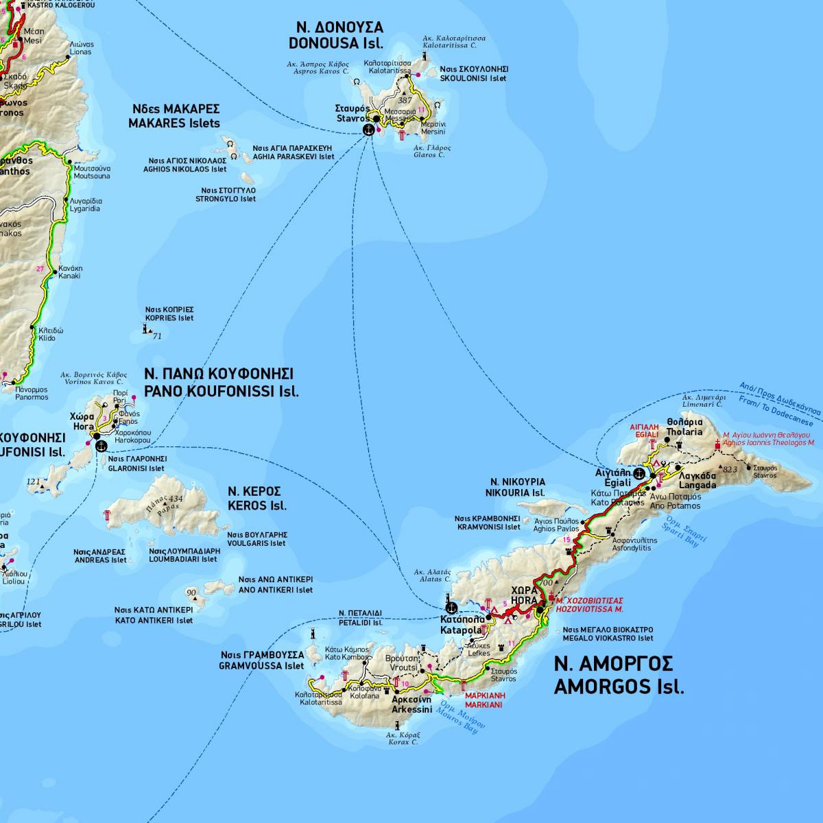
Τhis map features all the islands of the Cyclades complex in their natural geographical position, showing beaches, ports, sea connections, airports, and all main sights. It’s the ideal map for planning your visit to the Cycladic islands, especially if you’re sailing or island-hopping.
Like all of TERRAIN’s large maps, the map of Cyclades is printed on Polyart, which is extremely durable against folding and unfolding, and is 100% waterproof and rip-proof.
Sample