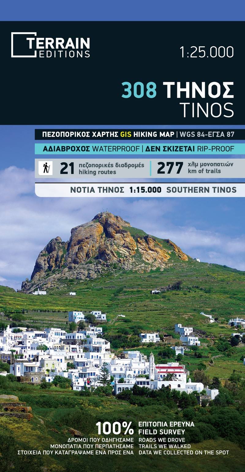
The fully updated 2nd edition of the Tinos hiking map by TERRAIN is actually two maps!
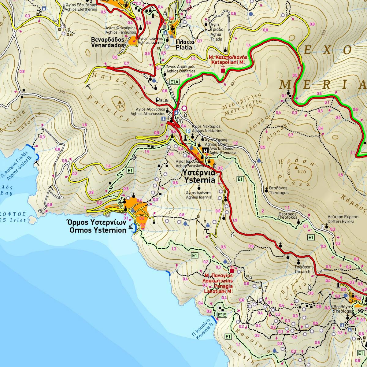
On the first side, all of Tinos is presented at a scale of 1:25,000, with a geophysical background featuring 20 m contour intervals. This side precisely depicts a total of 277 km of trails, including the 21 marked hiking routes of the Tinos Trails network with color shading and numbering, as well as a summary table with the technical details of the hiking routes. The complete road network of the island, all settlements, and all attractions are depicted with clear and readable symbols.
On the second side, there is a very detailed map of the southern and central areas of Tinos, where the center of hiking activity and most of the island's trails and attractions are located, at a scale of 1:15,000.
Sample