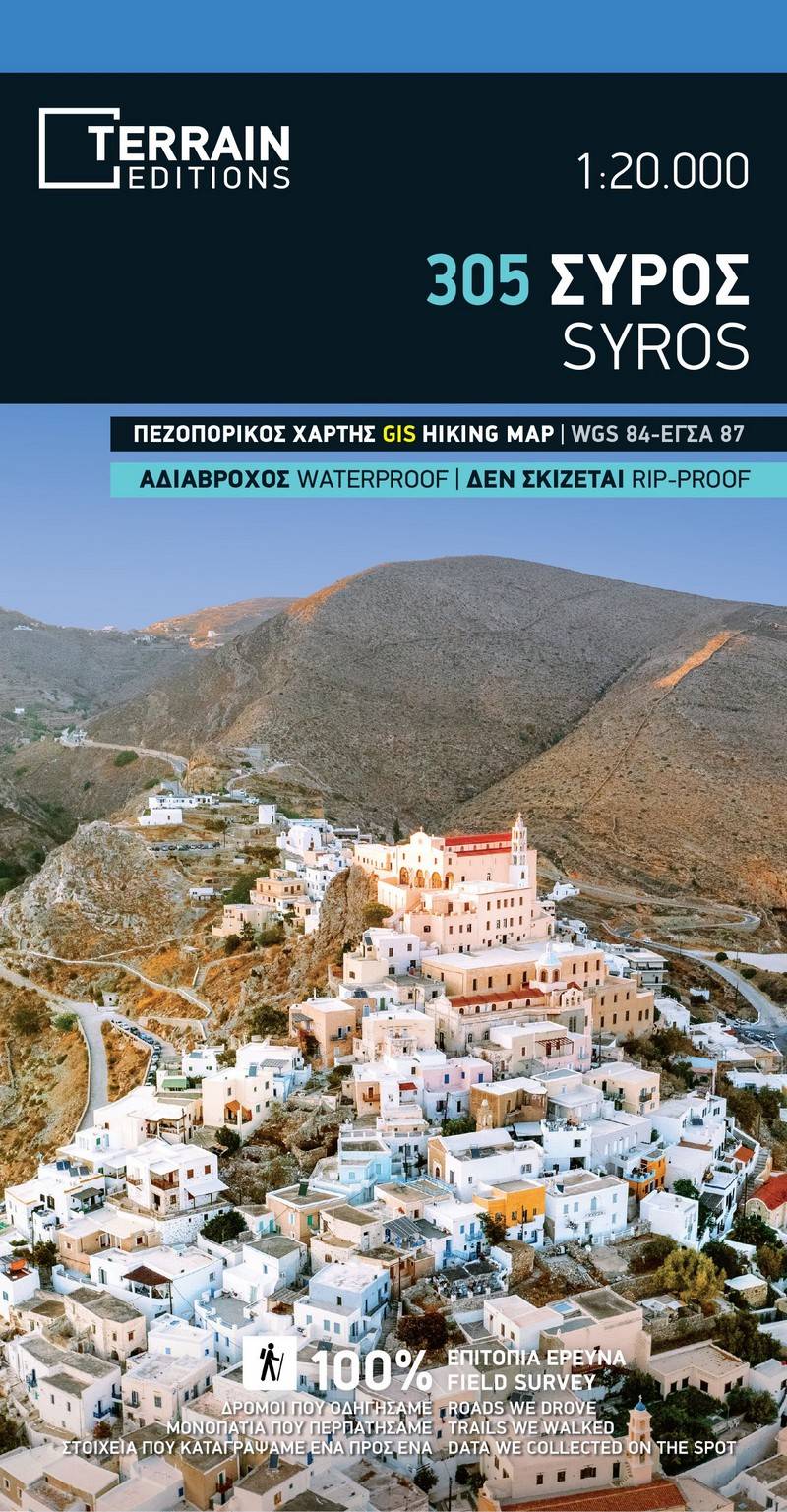
Hiking map Scale 1:20.000 2024 Edition
Printed on Polyart
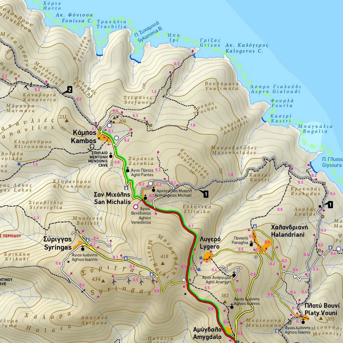
The touring and hiking map of Syros, at a 1:20.000 scale, offers you all you need to explore the island in depth. It accurately shows a unique wealth of information, including the complete road network, all the beaches with their names (down to the tiniest cove!), all natural and cultural sights and much else.
Although not widely known for its walking trails, Syros has its share of paths, mainly in the windswept northern part. In this hiking map by TERRAIN, all the island’s trails are accurately shown, with point-to-point distances in km.
Sample