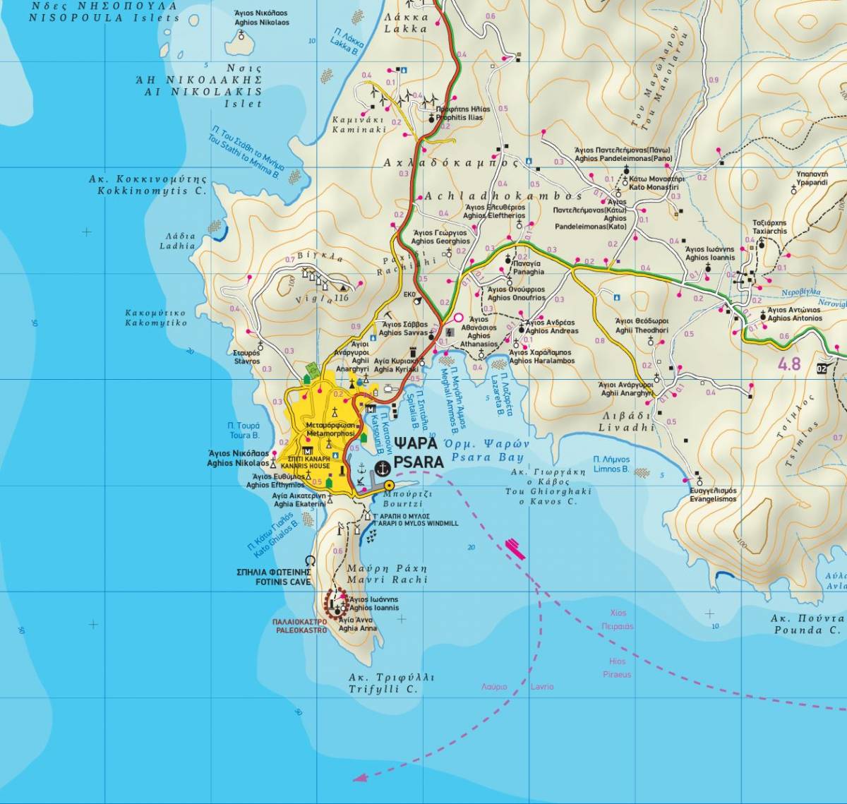
TERRAIN’s map of the historic Aegean island of Psara was the first ever to be published. The map shows the complete road network of the island, as well as all the beaches and all the places of interest for the visitor. It clearly depicts all the paths and trails of the island with accurate point-to-point distances, so that you can plan your hike and estimate your hiking time. On the back of the map there are descriptions of the 3 best walking routes on Psara with the total length and route duration. These hiking routes are marked on the map with a special symbol so that you can locate and follow them with ease.
Included is a map of the neighbouring island of Antipsara and the other surrounding islets, with fully mapped coastline (showing all beaches).
On the back of the map you will find a concise travel guide with information on the history, the natural environment, and the most important sights of the island.
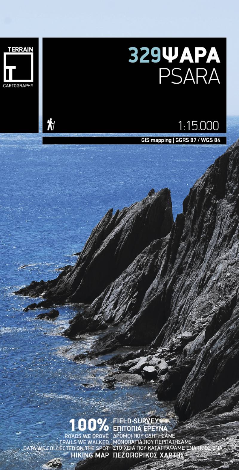
Sample