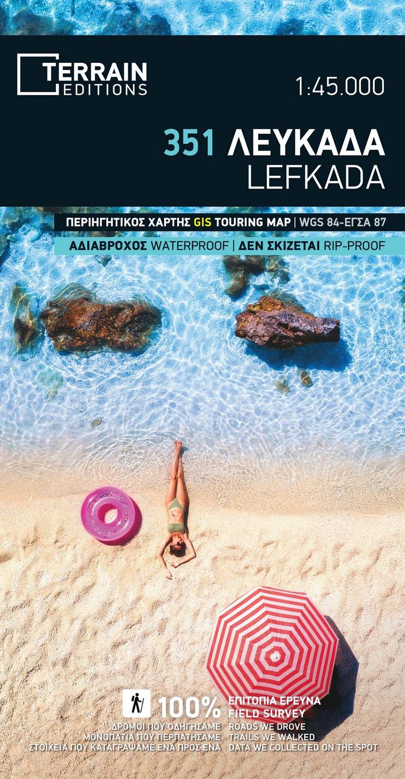
Touring map Scale 1:45.000 2023 Edition
Printed on Polyart
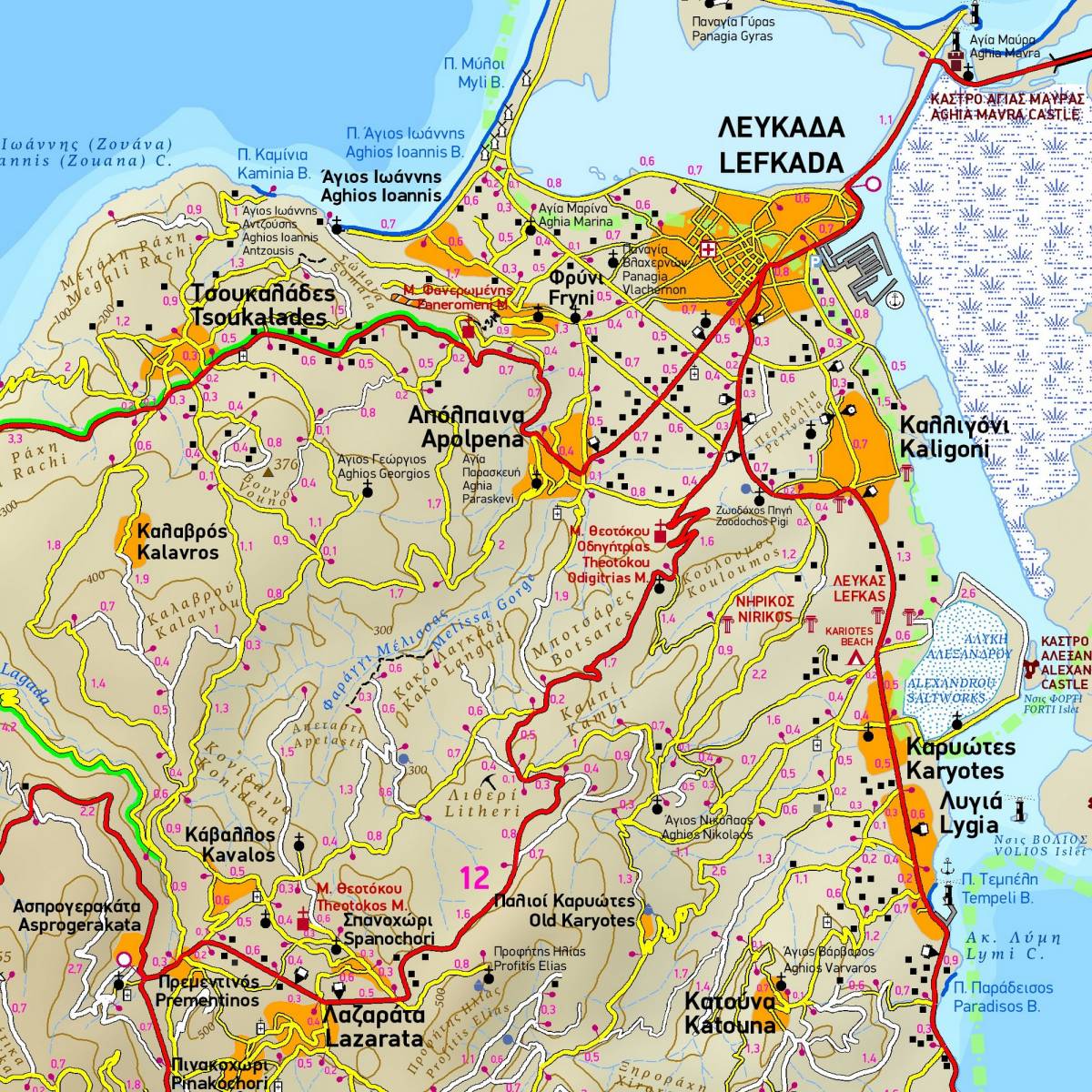
This contoured GPS compatible map at a scale of 1:45.000 shows the entire road network of the island, all the beaches and all the attractions with the highest precision. It includes a detailed map of the city of Lefkada at a scale of 1:6,000, with all points of interest marked. The map also covers the neighboring Meganisi, on which the hiking trail that crosses the entire southern edge of the island to Cape Kefali is shown.
On the back of the map there is a concise travel guide with lots of photos and information about the myths, history, geography and major attractions of the island.
