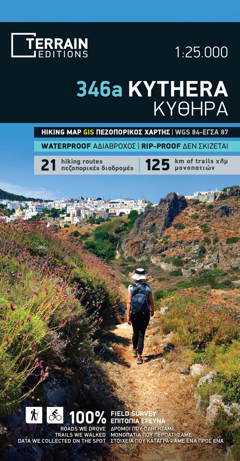
Hiking map Scale 1:25.000 2025 Edition
Printed on Polyart
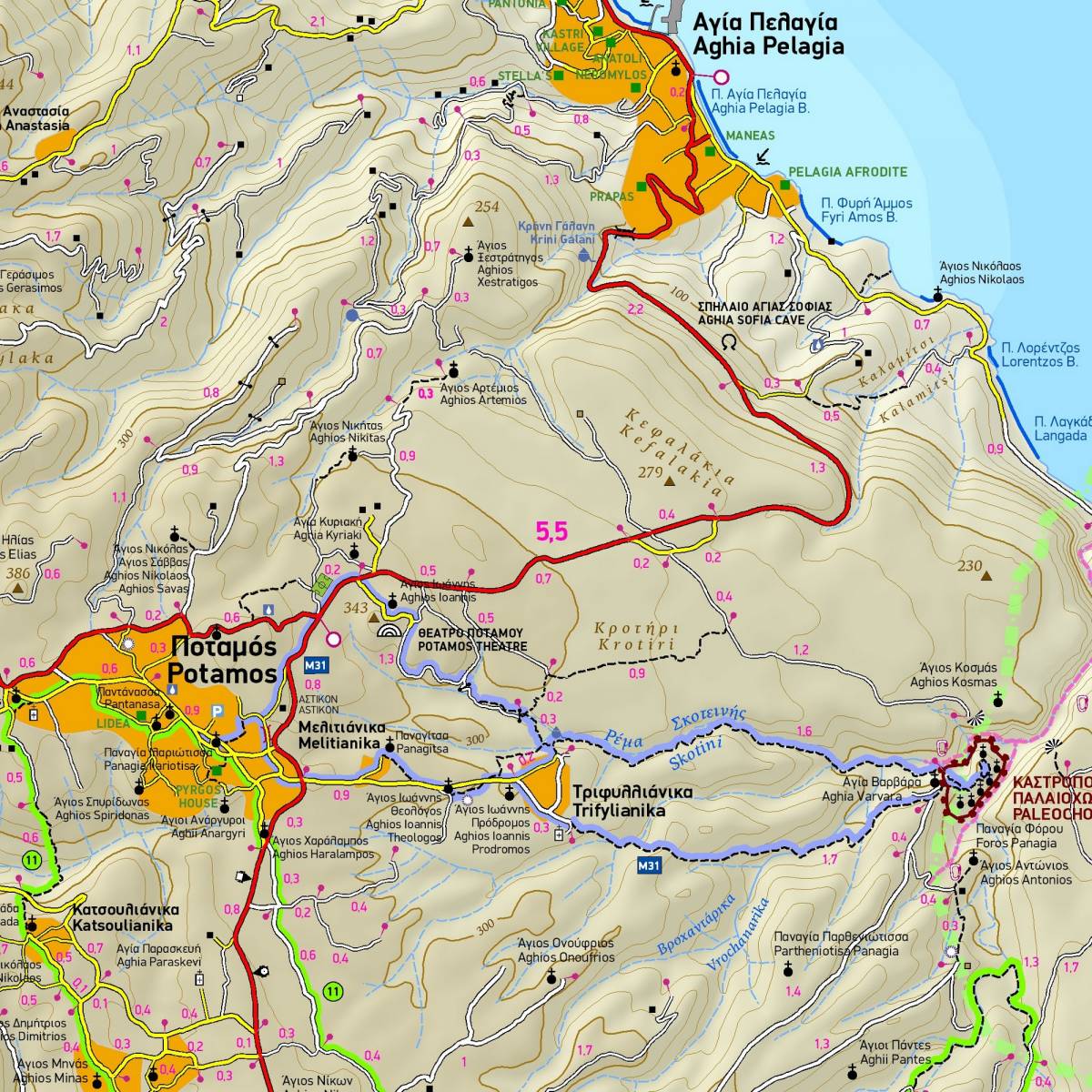
The hiking and touring map of Kythera at a 1:25.000 scale is an indispensable tool for those wishing to explore the island in depth. A wealth of information is clearly depicted; the entire road network, all beaches, natural and cultural attractions, all the trails, waymarked hiking routes, and much else. The island is shown on two sides.
Kythera has retained an extended network of old footpaths, several of which have nowadays been waymarked, making Kythera increasingly popular with hikers. All hiking trails marked on the map have been recorded by field survey and are accurately shown with point-to-point distances in km, so you can safely plan your hiking itinerary.
Sample