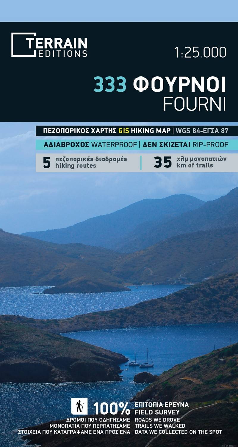
Hiking map Scale 1:25.000 2023 Edition
Printed on Polyart
Printed on polyart.
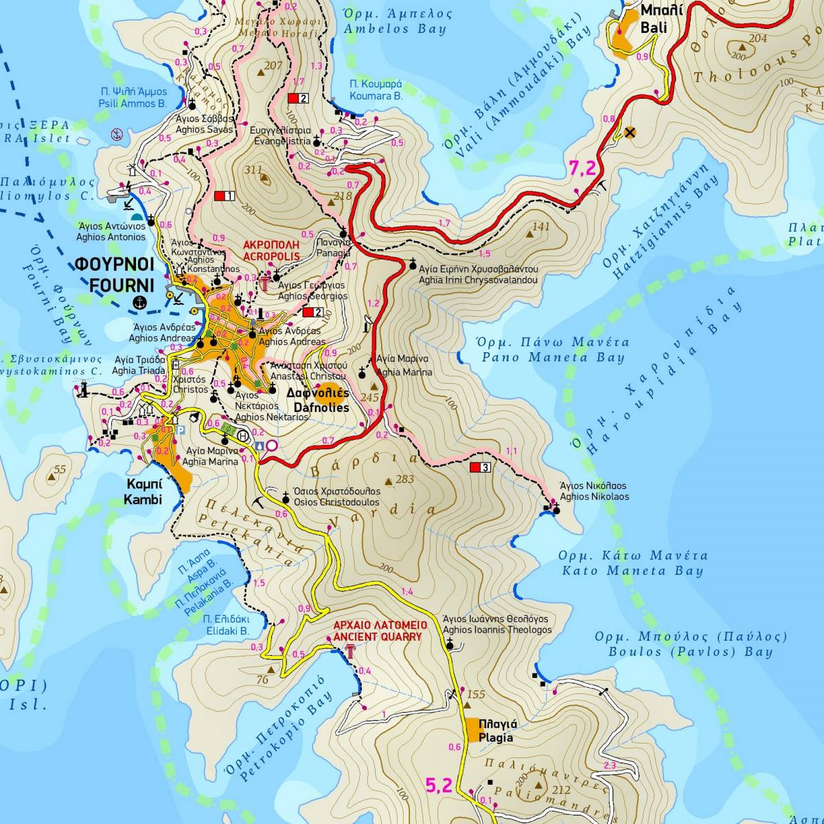
This is the only hiking map of Fourni available! It comes in the scale of 1:25,000, showing everything with great clarity and it's made with data collected 100% through field survey. All the hiking trails of Fourni are accurately shown with point-to-point distances in km, and suggested hiking routes are highlighted.
The island’s entire coastline is mapped. This means that you can locate all beaches of the island, down to the tiniest cove
Also included is a map of the neighbouring islands of Thimena, Aghios Minas, and all the uninhabited islets with their coastline fully mapped (all beaches are shown).
The reverse side features information on the suggested hiking trails, beaches and attractions.
Sample