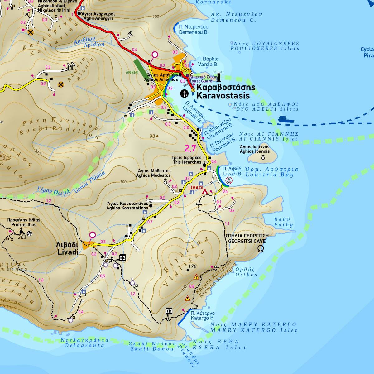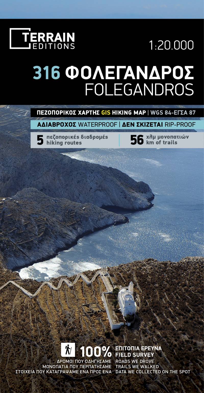
The second edition of the hiking and touring map of Folegandros has been completely redesigned, and is enriched with new and updated information collected exclusively in the field, and from across the entire island.
It is the only map of Folegandros which depicts all the hiking trails of the island (totalling 56km) with accurate point-to-point distances. On the back side of the map you will find detailed information for 5 recommended hiking routes (description, total distance, hiking time, difficulty rating).
Moreover, the reverse side features an illustrated mini travel guide, with information on the island’s history, sights and major attractions, as well as detailed town plan of Folegandros, at a scale of 1:2.000, marking all hotels, restaurants, cafes, and shops.
Sample