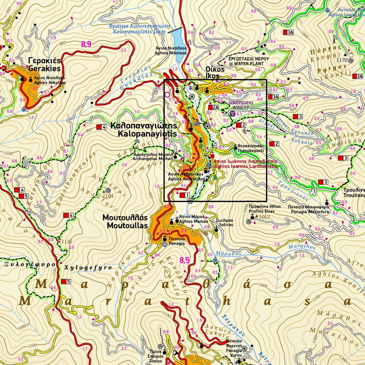
This map of Marathasa by TERRAIN is the first hiking map of modern technology (GIS) to be published for an area of Cyprus. It covers an area of approx. 350 sq.km. right in the heart of Troodos mountain range, an area covered with a dense pine forest and criss-crossed by many beautiful signposted trails and hundreds of km of forest roads ideal for hiking and exploration!
102 km OF HIKING TRAILS<, all marked with red shading, the name or number for signposted trails, and distances from junction to junction.
770 km OF DIRT ROADS, ideal for mountain-biking and hiking.
ALL SIGHTS, including UNESCO monuments, monasteries, churches, venetian bridges, watermills, picnic areas and more.
HIKING GUIDE with detailed descriptions and elevation diagrams of ten hiking routes.
DETAILED PLAN OF KALOPANAYIOTIS VILLAGE in the scale of 1:5.000, featuring all accommodation, restaurants, sights and points of interest.
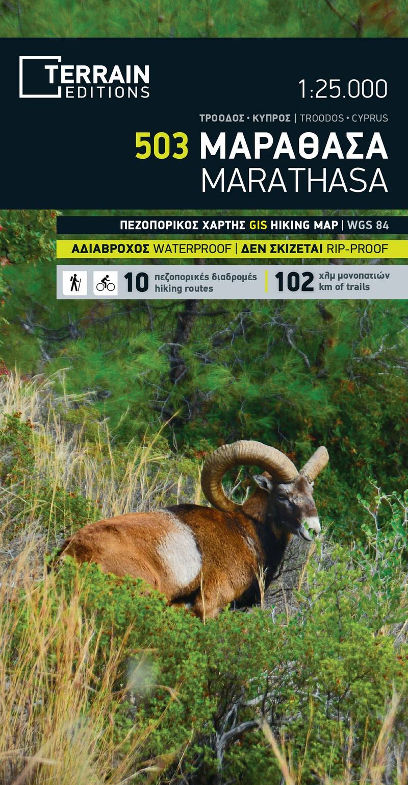
Sample